UN/LOCODE hub · Brazil
BRSGM
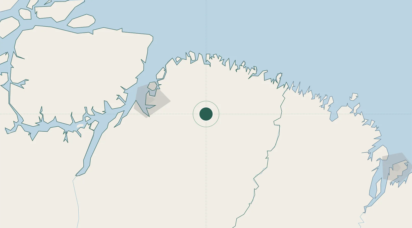
São Miguel do Guamá
-1.6167°, -47.4667°
52,894
Population
2
Transport functions
Transport Functions
Port
Road
Hub Profile
Place type
Populated place
Region
Pará
Population
52,894
Time zone
America/Belem
Elevation
9 m
Location
Nearby Logistics Neighbours
Cities
- 1Acará90 km
- 2Benevides90 km
- 3Ananindeua104 km
- 4Cachoeira do Piriá105 km
- 5Belém115 km
Ports
- 1Belem116 km
- 2Vila Do Conde143 km
- 3Cameta237 km
- 4Itaqui360 km
- 5Porto Santana448 km
Airports
- 1Salinópolis Airport103 km
- 2Val de Cans/Júlio Cezar Ribeiro International Airport115 km
- 3Nagib Demachki Airport157 km
- 4Breves Airport331 km
- 5Tucuruí Airport348 km
Trade Zones
- 1ZPE de Barcarena (PA)130 km
- 2ZPE de São Luís364 km
- 3ZPE de Araguaína (TO)624 km
- 4ZPE de Parnaíba (PI)650 km
- 5ZPE de Pecém (CE) ( Port of Pecém)982 km
DatabookThe Record of Consolidated Knowledge
Brazil beyond logistics?