Transport Functions
Rail
Road
Hub Profile
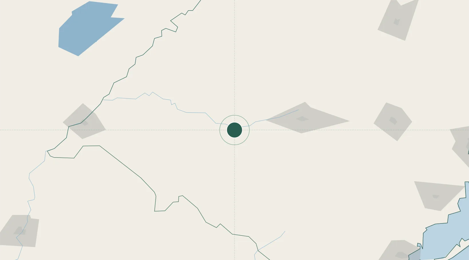
Place type
Populated place
Region
Rio Grande do Sul
Population
11,157
Time zone
America/Sao_Paulo
Elevation
112 m
Location
Nearby Logistics Neighbours
Cities
- 1Santa Maria100 km
- 2Tupanciretã130 km
- 3Sant'Ana do Livramento132 km
- 4Júlio de Castilhos133 km
- 5Quaraí167 km
Ports
- 1Pelotas319 km
- 2Porto Alegre346 km
- 3Concordia352 km
- 4Rio Grande356 km
- 5Colon410 km
Airports
- 1Santa Maria Airport110 km
- 2Pres. Gral. Óscar D. Gestido Binational Airport139 km
- 3Comandante Gustavo Kraemer Airport182 km
- 4Santo Ângelo Airport187 km
- 5Rubem Berta Airport215 km
Trade Zones
- 1Rivera Free Zone139 km
- 2ZPE de Rio Grande (RS)353 km
- 3Zona Franca Puerto Iguazu Free Trade Zone475 km
- 4Zona Franca Global486 km
- 5Zona Franca Internacional486 km
DatabookThe Record of Consolidated Knowledge
Brazil beyond logistics?