Transport Functions
Rail
Road
Hub Profile
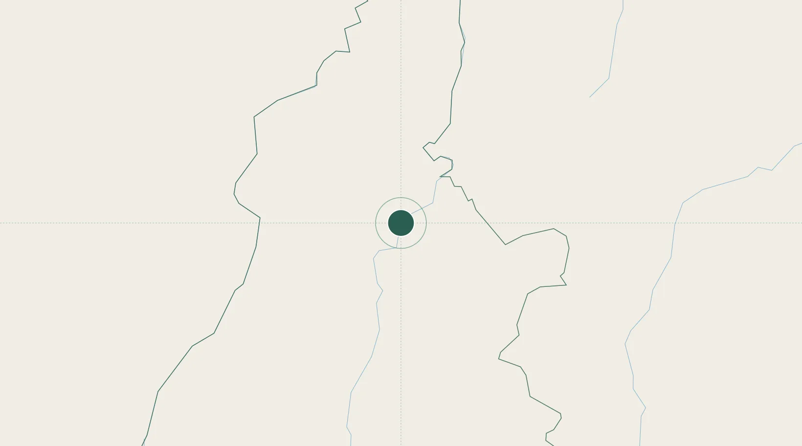
Place type
Populated place
Region
Tocantins
Population
4,909
Time zone
America/Araguaina
Elevation
170 m
Location
Nearby Logistics Neighbours
Cities
- 1Carolina79 km
- 2Guaraí126 km
- 3Conceição do Araguaia152 km
- 4Xambioá174 km
- 5Porto Franco178 km
Ports
- 1Cameta646 km
- 2Vila Do Conde706 km
- 3Itaqui708 km
- 4Belem714 km
- 5Tutoia842 km
Airports
Trade Zones
- 1ZPE de Araguaína (TO)81 km
- 2ZPE de Barcarena (PA)708 km
- 3ZPE de São Luís711 km
- 4ZPE de Parnaíba (PI)873 km
- 5ZPE de Pecém (CE) ( Port of Pecém)1112 km
DatabookThe Record of Consolidated Knowledge
Brazil beyond logistics?