Medium airport · Brazil
Prefeito Renato Moreira AirportSBIZ
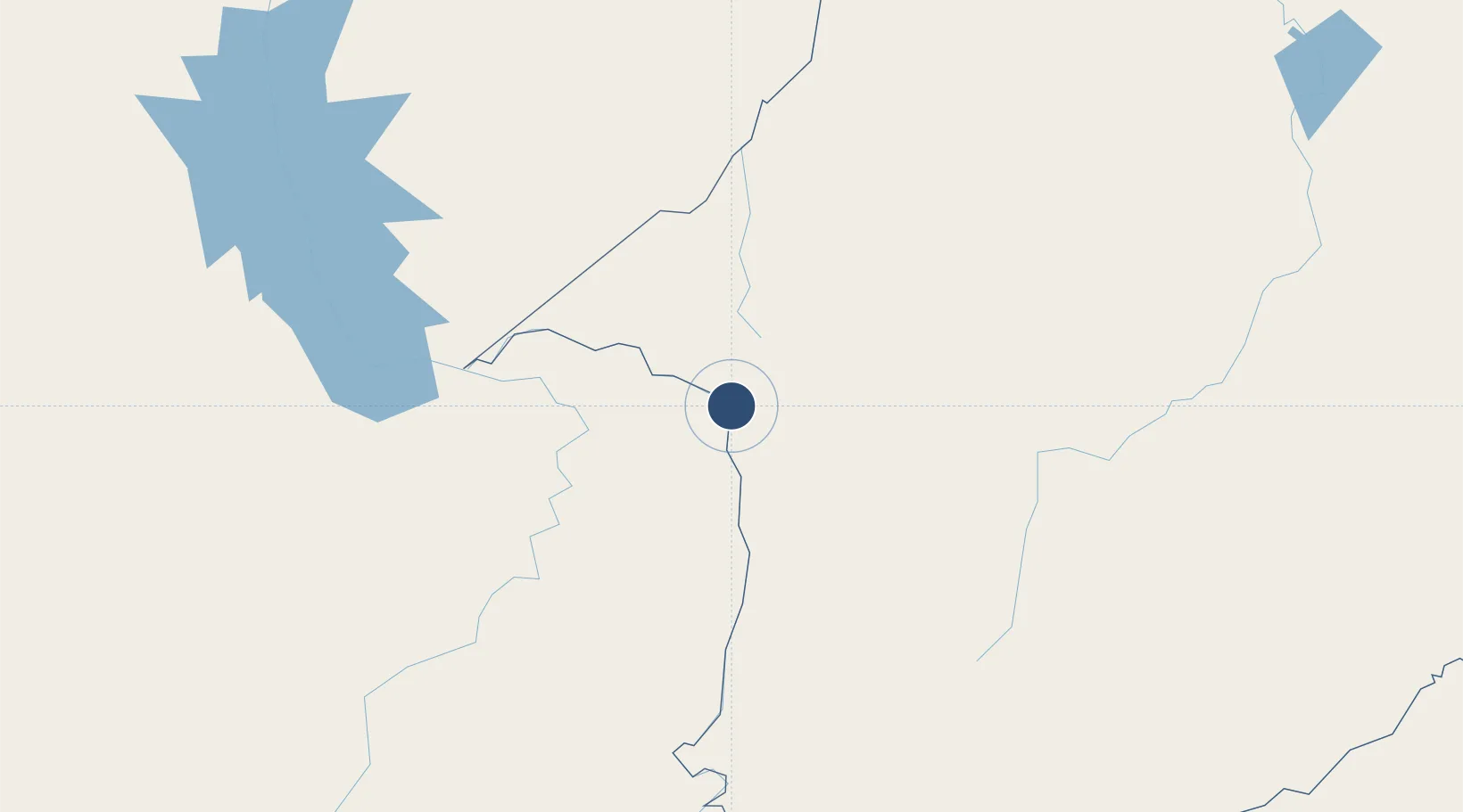
-5.5313°, -47.4600°
5,899 ft
Longest runway
1
Runways
430 ft
Elevation
Runway & Layout

Radio Frequencies
AFIS
125.85 MHz
RDO
Navaids
YTZ VOR-DME Imperatriz 112.70 MHz
YTZ NDB Imperatriz 390 kHz
Runways · 1
| Runway | Dimensions | Surface | True heading | Lit |
|---|---|---|---|---|
| 7/25 | 5,899 × 148ft | Asphalt | — | — |
Airport Specifications
IATA code
IMP
ICAO code
SBIZ
Airport class
Medium airport
Scheduled service
Yes
Runway surface
Asphalt
Served city
Imperatriz
Location
Nearby Logistics Neighbours
Airports
- 1João Correa da Rocha Airport187 km
- 2Brig. Lysias Augusto Rodrigues Airport199 km
- 3Araguaína Airport207 km
- 4Nagib Demachki Airport280 km
- 5Carajás Airport289 km
Cities
- 1Imperatriz2 km
- 2Praia Norte41 km
- 3Açailândia65 km
- 4Araguatins74 km
- 5Porto Franco92 km
Ports
- 1Cameta429 km
- 2Vila Do Conde465 km
- 3Belem468 km
- 4Itaqui476 km
- 5Tutoia650 km
Trade Zones
- 1ZPE de Araguaína (TO)202 km
- 2ZPE de Barcarena (PA)465 km
- 3ZPE de São Luís479 km
- 4ZPE de Parnaíba (PI)693 km
- 5ZPE de Pecém (CE) ( Port of Pecém)979 km
DatabookThe Record of Consolidated Knowledge
Brazil beyond logistics?