Transport Functions
Rail
Road
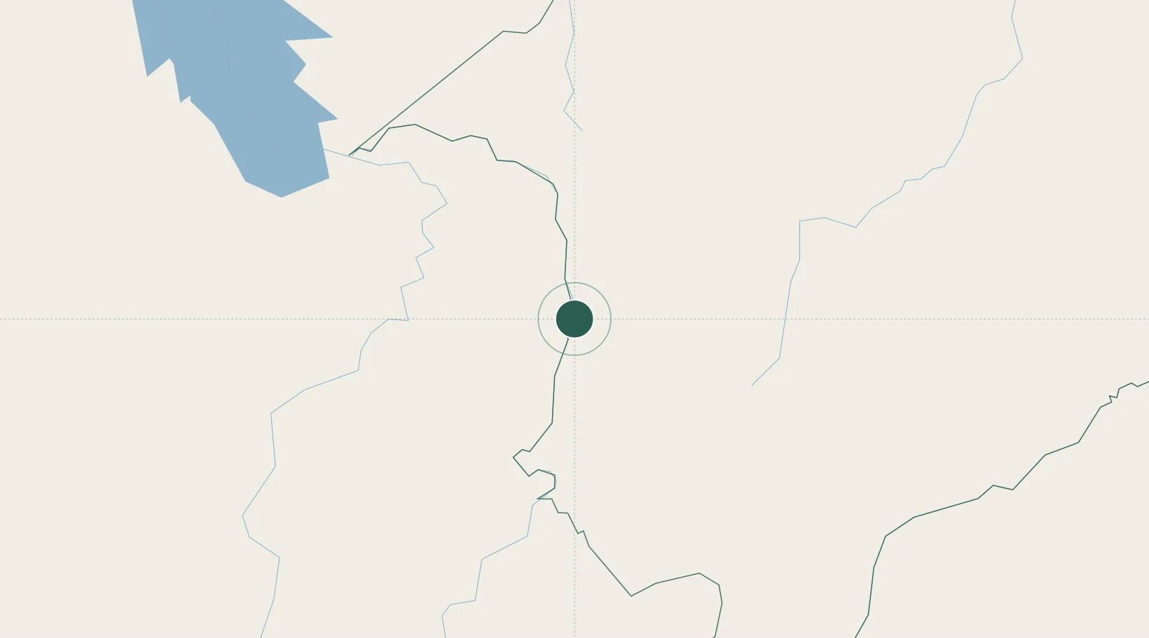
Hub Profile
Place type
Populated place
Region
Maranhão
Population
23,903
Time zone
America/Fortaleza
Elevation
165 m
Location
Nearby Logistics Neighbours
Cities
- 1Imperatriz93 km
- 2Carolina108 km
- 3Araguatins114 km
- 4Praia Norte118 km
- 5Xambioá127 km
Ports
- 1Cameta514 km
- 2Itaqui536 km
- 3Vila Do Conde555 km
- 4Belem559 km
- 5Tutoia689 km
Airports
- 1Prefeito Renato Moreira Airport92 km
- 2Brig. Lysias Augusto Rodrigues Airport108 km
- 3Araguaína Airport137 km
- 4João Correa da Rocha Airport224 km
- 5Carajás Airport293 km
Trade Zones
- 1ZPE de Araguaína (TO)132 km
- 2ZPE de São Luís539 km
- 3ZPE de Barcarena (PA)555 km
- 4ZPE de Parnaíba (PI)726 km
- 5ZPE de Pecém (CE) ( Port of Pecém)993 km
DatabookThe Record of Consolidated Knowledge
Brazil beyond logistics?