Medium airport · Brazil
Brig. Lysias Augusto Rodrigues AirportSBCI
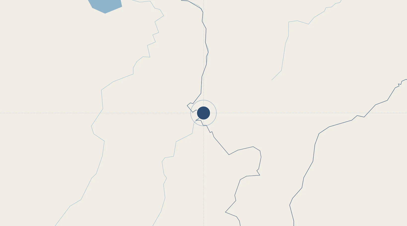
-7.3204°, -47.4587°
5,906 ft
Longest runway
1
Runways
565 ft
Elevation
Runway & Layout

Radio Frequencies
AFIS
126.6 MHz
RDO
Navaids
CNA VOR Carolina 115.30 MHz
CNA NDB Carolina 330 kHz
Runways · 1
| Runway | Dimensions | Surface | True heading | Lit |
|---|---|---|---|---|
| 11/29 | 5,906 × 148ft | Asphalt | — | — |
Airport Specifications
IATA code
CLN
ICAO code
SBCI
Airport class
Medium airport
Scheduled service
No
Runway surface
Asphalt
Served city
Carolina
Location
Nearby Logistics Neighbours
Airports
- 1Araguaína Airport87 km
- 2Prefeito Renato Moreira Airport199 km
- 3Conceição do Araguaia Airport233 km
- 4João Correa da Rocha Airport286 km
- 5Carajás Airport311 km
Cities
- 1Carolina1 km
- 2Palmeirante79 km
- 3Porto Franco108 km
- 4Xambioá155 km
- 5Balsas159 km
Ports
- 1Cameta608 km
- 2Itaqui630 km
- 3Vila Do Conde657 km
- 4Belem663 km
- 5Tutoia764 km
Trade Zones
- 1ZPE de Araguaína (TO)86 km
- 2ZPE de São Luís633 km
- 3ZPE de Barcarena (PA)658 km
- 4ZPE de Parnaíba (PI)795 km
- 5ZPE de Pecém (CE) ( Port of Pecém)1040 km
DatabookThe Record of Consolidated Knowledge
Brazil beyond logistics?