Transport Functions
Port
Road
Airport
Hub Profile
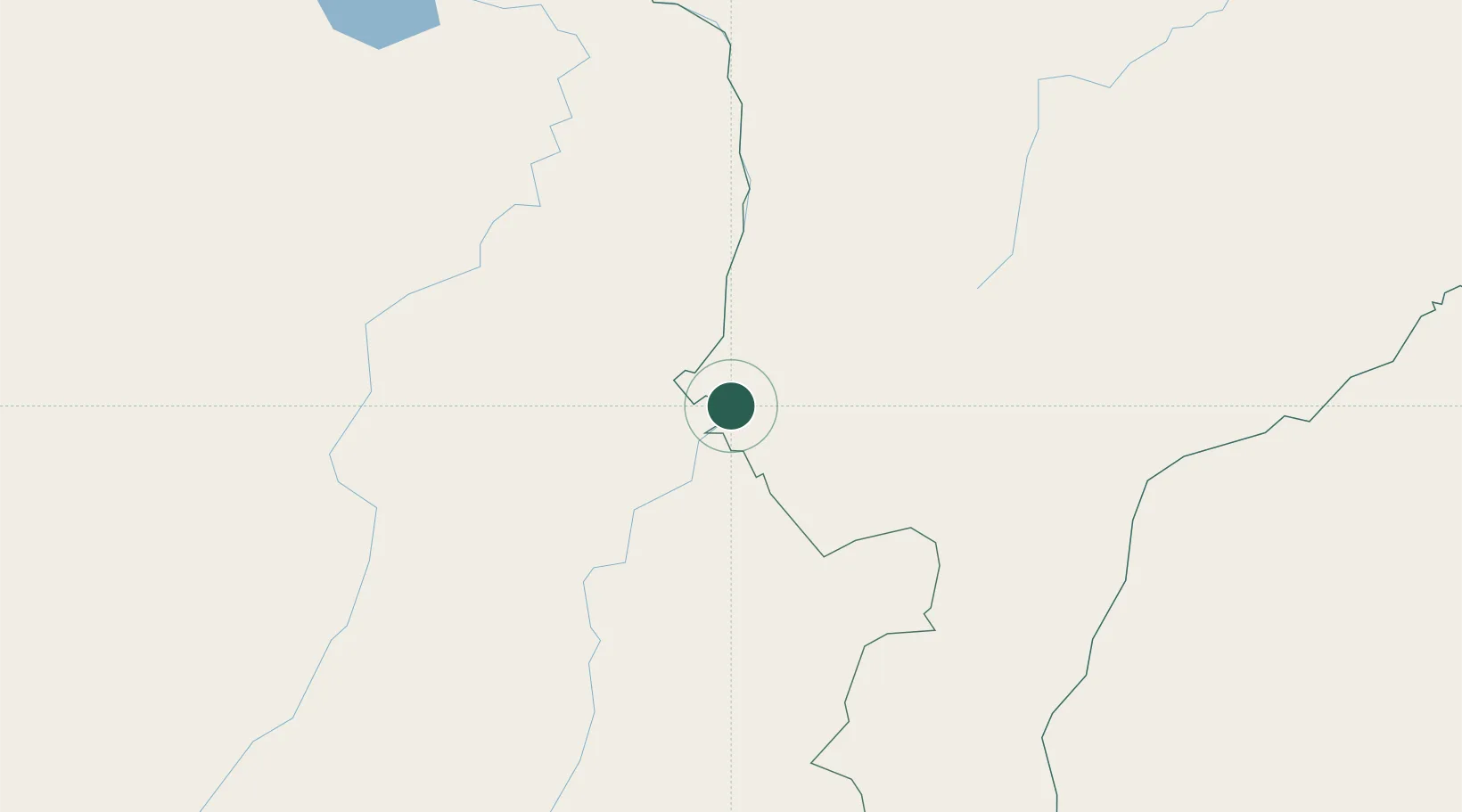
Place type
Populated place
Region
Maranhão
Population
24,062
Time zone
America/Fortaleza
Elevation
175 m
Location
Nearby Logistics Neighbours
Cities
- 1Palmeirante79 km
- 2Porto Franco108 km
- 3Xambioá154 km
- 4Balsas160 km
- 5Araguatins199 km
Ports
- 1Cameta607 km
- 2Itaqui630 km
- 3Vila Do Conde657 km
- 4Belem662 km
- 5Tutoia764 km
Airports
Trade Zones
- 1ZPE de Araguaína (TO)85 km
- 2ZPE de São Luís633 km
- 3ZPE de Barcarena (PA)657 km
- 4ZPE de Parnaíba (PI)796 km
- 5ZPE de Pecém (CE) ( Port of Pecém)1040 km
DatabookThe Record of Consolidated Knowledge
Brazil beyond logistics?