Medium airport · Brazil
Conceição do Araguaia AirportSBAA
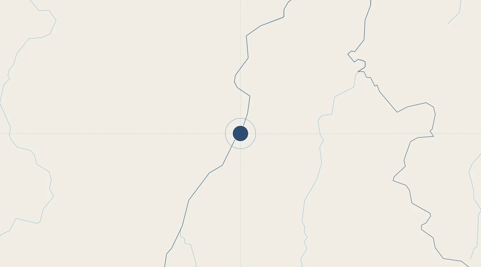
-8.3483°, -49.3015°
5,906 ft
Longest runway
1
Runways
653 ft
Elevation
Runway & Layout

Radio Frequencies
AFIS
125.7 MHz
ARAGUAIA RDO
Navaids
ARG NDB Araguaia 230 kHz
Runways · 1
| Runway | Dimensions | Surface | True heading | Lit |
|---|---|---|---|---|
| 8/26 | 5,906 × 98ft | Asphalt | — | — |
Airport Specifications
IATA code
CDJ
ICAO code
SBAA
Airport class
Medium airport
Scheduled service
No
Runway surface
Asphalt
Served city
Conceição do Araguaia
Location
Nearby Logistics Neighbours
Airports
- 1Araguaína Airport171 km
- 2Brig. Lysias Augusto Rodrigues Airport233 km
- 3Brigadeiro Lysias Rodrigues Airport240 km
- 4Carajás Airport260 km
- 5Porto Nacional Airport282 km
Cities
- 1Conceição do Araguaia12 km
- 2Araguacema57 km
- 3Guaraí103 km
- 4Palmeirante161 km
- 5Canaã dos Carajás212 km
Ports
- 1Cameta679 km
- 2Vila Do Conde758 km
- 3Belem772 km
- 4Itaqui844 km
- 5Santarem891 km
Trade Zones
- 1ZPE de Araguaína (TO)176 km
- 2ZPE de Barcarena (PA)763 km
- 3ZPE de São Luís847 km
- 4ZPE de Parnaíba (PI)1026 km
- 5ZPE de Cáceres1252 km
DatabookThe Record of Consolidated Knowledge
Brazil beyond logistics?