Transport Functions
Rail
Road
Hub Profile
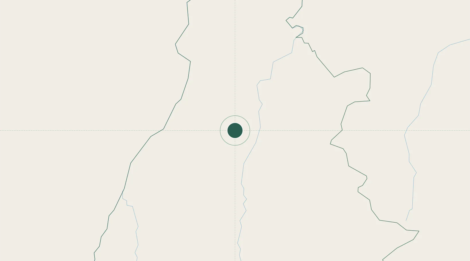
Place type
Populated place
Region
Tocantins
Population
25,681
Time zone
America/Araguaina
Elevation
260 m
Location
Nearby Logistics Neighbours
Cities
- 1Conceição do Araguaia105 km
- 2Araguacema115 km
- 3Palmeirante126 km
- 4Carolina203 km
- 5Porto Nacional208 km
Ports
- 1Cameta740 km
- 2Vila Do Conde810 km
- 3Belem821 km
- 4Itaqui833 km
- 5Tutoia962 km
Airports
Trade Zones
- 1ZPE de Araguaína (TO)187 km
- 2ZPE de Barcarena (PA)813 km
- 3ZPE de São Luís836 km
- 4ZPE de Parnaíba (PI)990 km
- 5Zona Franca Ilhéus (BA)1187 km
DatabookThe Record of Consolidated Knowledge
Brazil beyond logistics?