UN/LOCODE hub · Brazil
BRCGA
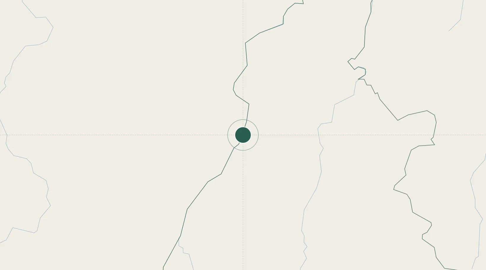
Conceição do Araguaia
-8.2500°, -49.2500°
44,617
Population
3
Transport functions
Transport Functions
Port
Road
Airport
Hub Profile
Place type
Populated place
Region
Pará
Population
44,617
Time zone
America/Belem
Elevation
180 m
Location
Nearby Logistics Neighbours
Cities
- 1Araguacema70 km
- 2Guaraí105 km
- 3Palmeirante152 km
- 4Canaã dos Carajás203 km
- 5Xambioá221 km
Ports
- 1Cameta668 km
- 2Vila Do Conde747 km
- 3Belem761 km
- 4Itaqui832 km
- 5Santarem887 km
Airports
- 1Conceição do Araguaia Airport12 km
- 2Araguaína Airport159 km
- 3Brig. Lysias Augusto Rodrigues Airport223 km
- 4Brigadeiro Lysias Rodrigues Airport247 km
- 5Carajás Airport251 km
Trade Zones
- 1ZPE de Araguaína (TO)165 km
- 2ZPE de Barcarena (PA)752 km
- 3ZPE de São Luís835 km
- 4ZPE de Parnaíba (PI)1015 km
- 5ZPE de Pecém (CE) ( Port of Pecém)1262 km
DatabookThe Record of Consolidated Knowledge
Brazil beyond logistics?