UN/LOCODE hub · Brazil
BRJUN

Jundiaí

-23.1978°, -46.8666°
443,221
Population
3
Transport functions

Transport Functions

Rail
Road
Airport
UN/LOCODE

Hub Profile

Place type
Provincial seat
GeoNames
Region
São Paulo
GeoNames
Population
443,221
GeoNames
Time zone
America/Sao_Paulo
GeoNames
Elevation
753 m
GeoNames
Logistics facilities
2
UN/LOCODE

Location

Location of BRJUN
Natural Earth 10m (public domain) · São Paulo · BRJUN · -23.20, -46.87GoogleOSMYandex

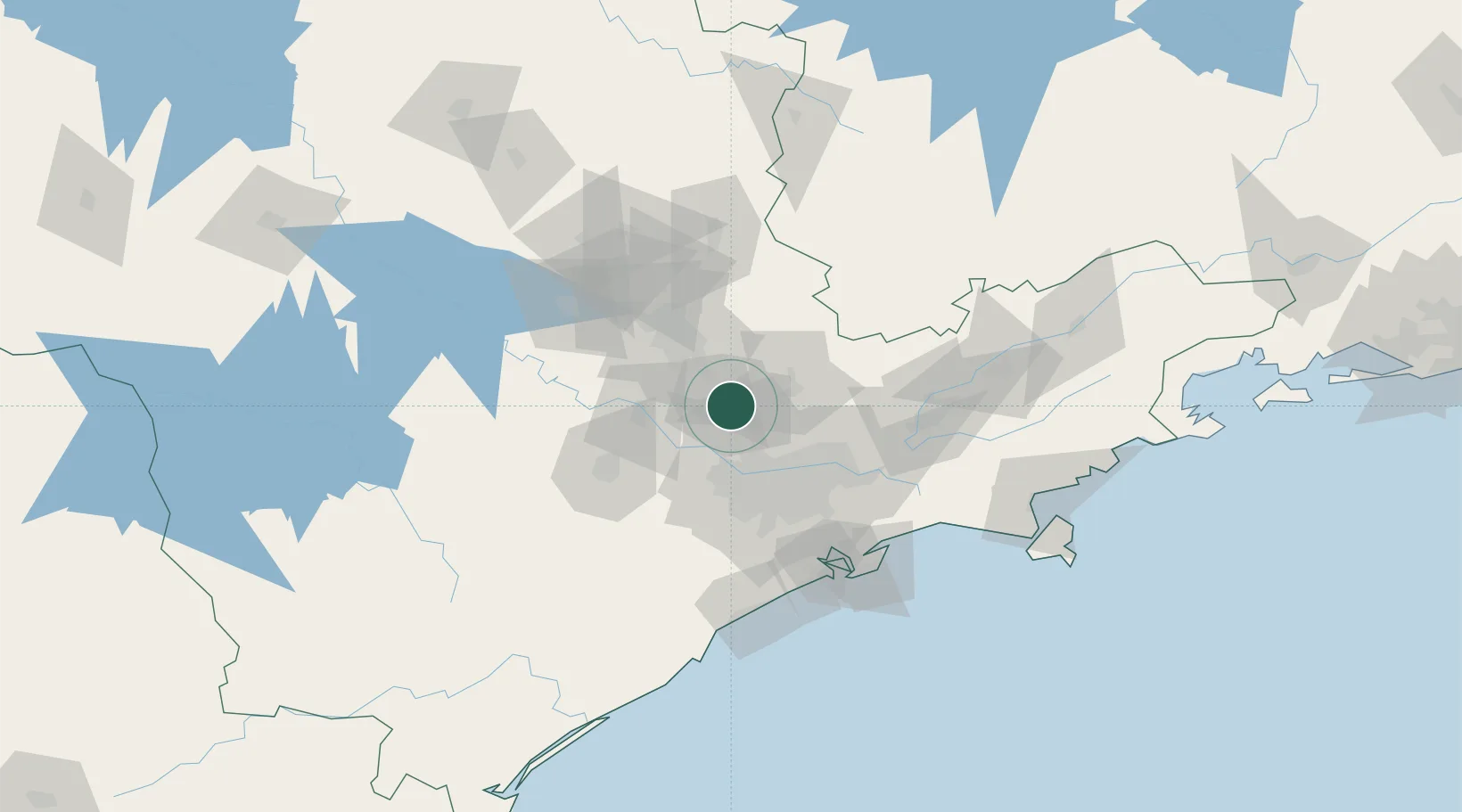
Nearby Logistics Neighbours

Cities
  1. 1Várzea Paulista5 km
  2. 2Barueri34 km
  3. 3Campinas38 km
  4. 4Guarulhos47 km
  5. 5Sumaré49 km
Nearest neighbours — logibook spatial index (haversine) over the source coordinates
Ports
  1. 1Santos102 km
  2. 2Sao Sebastiao164 km
  3. 3Angra Dos Reis262 km
  4. 4Paranagua306 km
  5. 5Rio De Janeiro380 km
Nearest neighbours — logibook spatial index (haversine) over the source coordinates
Trade Zones
  1. 1ZPE de Itaguaí (RJ)318 km
  2. 2ZPE de Uberaba (MG)406 km
  3. 3ZPE de Fernandópolis (SP)477 km
  4. 4ZPE de Imbituba (SC)519 km
  5. 5ZPE de Bataguassú (MS)594 km
Nearest neighbours — logibook spatial index (haversine) over the source coordinates
DatabookThe Record of Consolidated Knowledge
Brazil beyond logistics?
Browse databook

All Sources

LocationsUN/LOCODE
UN/LOCODE — free
LocationsGeoNames
CC BY 4.0
Portsthe NGA World Port Index
Public domain (US gov)
AirportsOurAirports
Public domain
Trade Zonesthe World Bank SEZ database
CC BY 4.0
Trade ZonesOpen Zone Map
CC BY
← Brazil locations