Transport Functions
Rail
Road
Airport
Hub Profile
Place type
Populated place
Region
Pará
Population
267,836
Time zone
America/Belem
Elevation
169 m
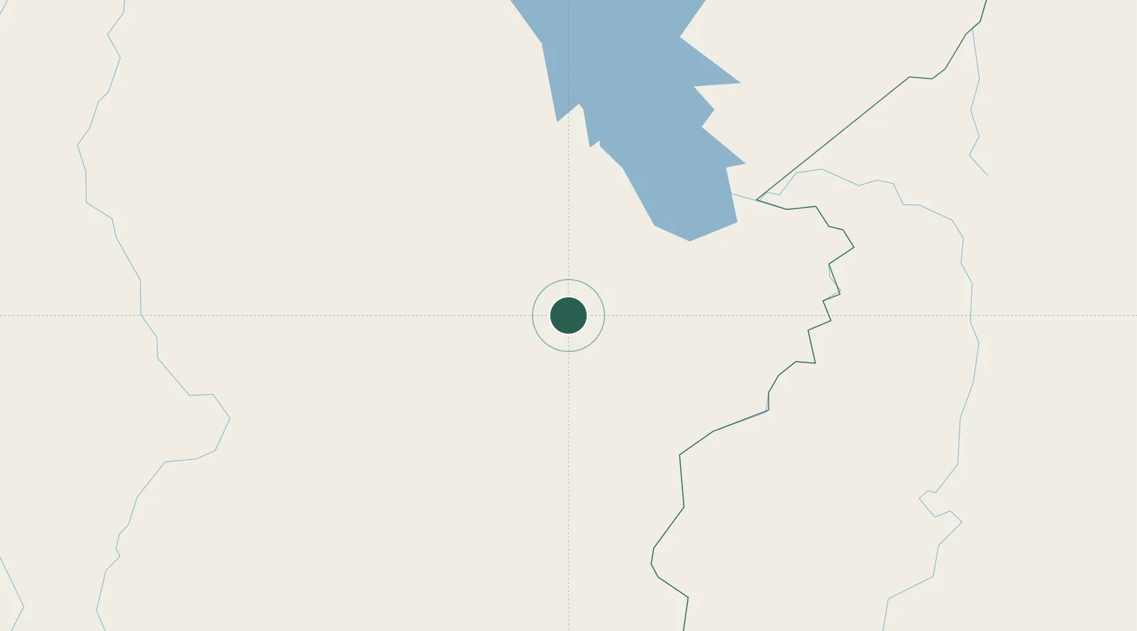
Location
Nearby Logistics Neighbours
Cities
- 1Canaã dos Carajás51 km
- 2Marabá116 km
- 3Xambioá157 km
- 4Araguatins203 km
- 5Praia Norte245 km
Ports
- 1Cameta427 km
- 2Vila Do Conde518 km
- 3Belem536 km
- 4Santarem671 km
- 5Porto Santana684 km
Airports
- 1Carajás Airport13 km
- 2João Correa da Rocha Airport115 km
- 3Araguaína Airport224 km
- 4Tucuruí Airport254 km
- 5Conceição do Araguaia Airport262 km
Trade Zones
- 1ZPE de Araguaína (TO)223 km
- 2ZPE de Barcarena (PA)525 km
- 3ZPE de São Luís730 km
- 4ZPE de Parnaíba (PI)965 km
- 5Zona Franca de Manaus - Suframa (Manaus Free Zone)1163 km
DatabookThe Record of Consolidated Knowledge
Brazil beyond logistics?