Transport Functions
Port
Road
Hub Profile
Place type
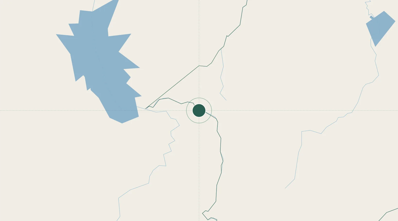
Populated place
Region
Tocantins
Population
9,460
Time zone
America/Araguaina
Elevation
120 m
Location
Nearby Logistics Neighbours
Cities
- 1Imperatriz40 km
- 2Araguatins46 km
- 3Açailândia59 km
- 4Porto Franco118 km
- 5Xambioá138 km
Ports
- 1Cameta396 km
- 2Vila Do Conde439 km
- 3Belem444 km
- 4Itaqui493 km
- 5Tutoia677 km
Airports
- 1Prefeito Renato Moreira Airport41 km
- 2João Correa da Rocha Airport148 km
- 3Araguaína Airport211 km
- 4Brig. Lysias Augusto Rodrigues Airport219 km
- 5Carajás Airport257 km
Trade Zones
- 1ZPE de Araguaína (TO)205 km
- 2ZPE de Barcarena (PA)439 km
- 3ZPE de São Luís497 km
- 4ZPE de Parnaíba (PI)721 km
- 5ZPE de Pecém (CE) ( Port of Pecém)1012 km
DatabookThe Record of Consolidated Knowledge
Brazil beyond logistics?