UN/LOCODE hub · Brazil
BRCDC
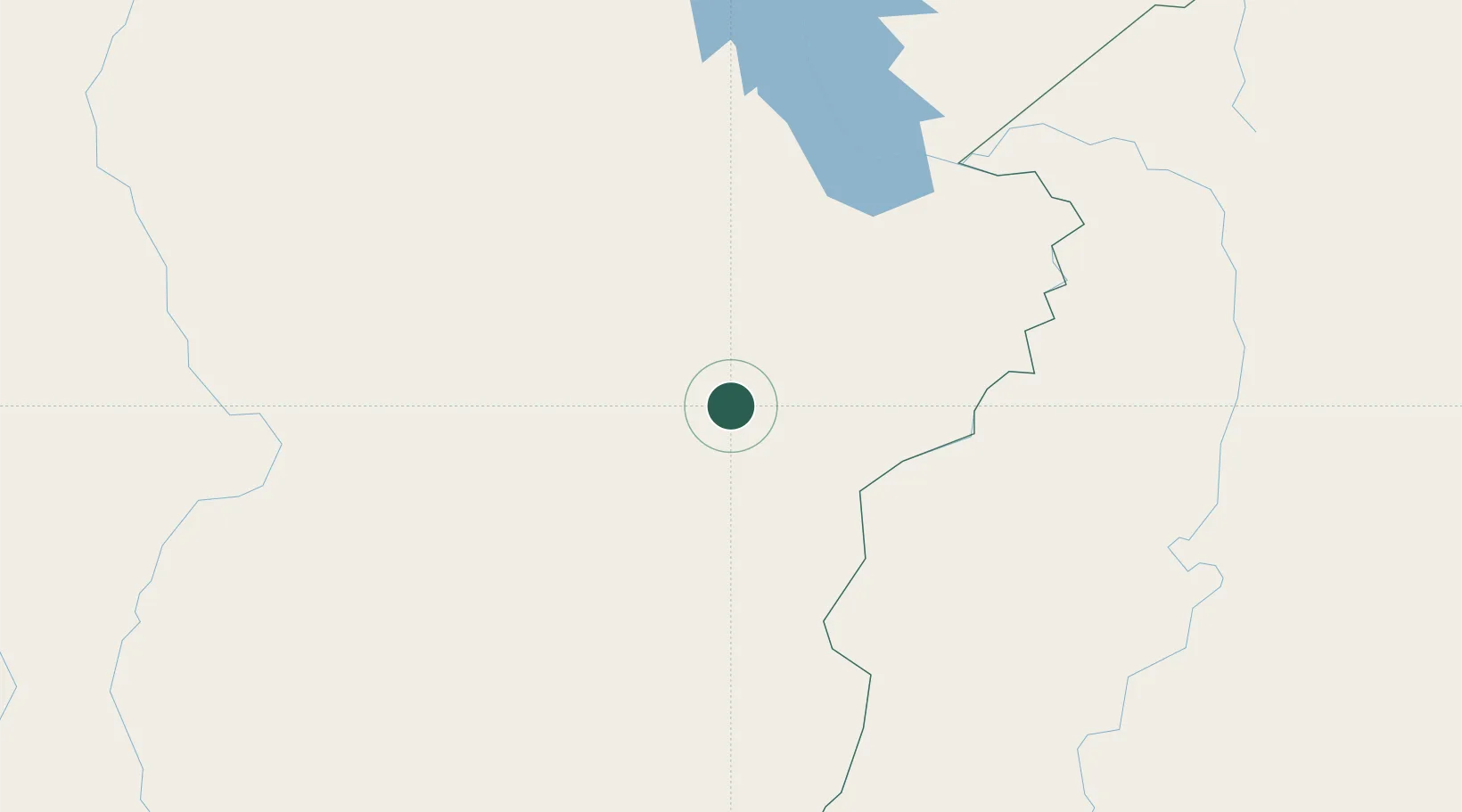
Canaã dos Carajás
-6.5167°, -49.8333°
77,079
Population
2
Transport functions
Transport Functions
Rail
Road
Hub Profile
Place type
Populated place
Region
Pará
Population
77,079
Time zone
America/Belem
Elevation
282 m
Location
Nearby Logistics Neighbours
Cities
- 1Parauapebas51 km
- 2Xambioá146 km
- 3Marabá151 km
- 4Conceição do Araguaia203 km
- 5Araguatins213 km
Ports
- 1Cameta476 km
- 2Vila Do Conde565 km
- 3Belem583 km
- 4Santarem708 km
- 5Porto Santana735 km
Airports
- 1Carajás Airport48 km
- 2João Correa da Rocha Airport149 km
- 3Araguaína Airport193 km
- 4Conceição do Araguaia Airport212 km
- 5Brig. Lysias Augusto Rodrigues Airport277 km
Trade Zones
- 1ZPE de Araguaína (TO)193 km
- 2ZPE de Barcarena (PA)572 km
- 3ZPE de São Luís752 km
- 4ZPE de Parnaíba (PI)977 km
- 5Zona Franca de Manaus - Suframa (Manaus Free Zone)1185 km
DatabookThe Record of Consolidated Knowledge
Brazil beyond logistics?