Transport Functions
Multimodal
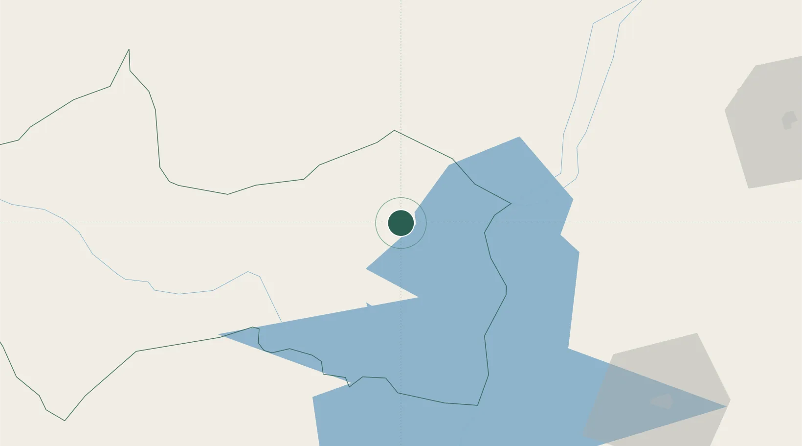
Hub Profile
Place type
Populated place
Region
Canindeyú
Population
4,070
Time zone
America/Asuncion
Elevation
361 m
Location
Nearby Logistics Neighbours
Cities
- 1Guaíra39 km
- 2Mundo Novo41 km
- 3Terra Roxa54 km
- 4Pato Bragado69 km
- 5Santa Helena86 km
Ports
- 1Puerto De Asuncion335 km
- 2Paranagua635 km
- 3Sao Francisco647 km
- 4Itajai676 km
- 5Porto Alegre738 km
Airports
Trade Zones
- 1Zona Franca Internacional153 km
- 2Zona Franca Global154 km
- 3Zona Franca Puerto Iguazu Free Trade Zone165 km
- 4ZPE de Bataguassú (MS)352 km
- 5ZPE de Fernandópolis (SP)616 km
DatabookThe Record of Consolidated Knowledge
Paraguay beyond logistics?