UN/LOCODE hub · Brazil
BRPKY
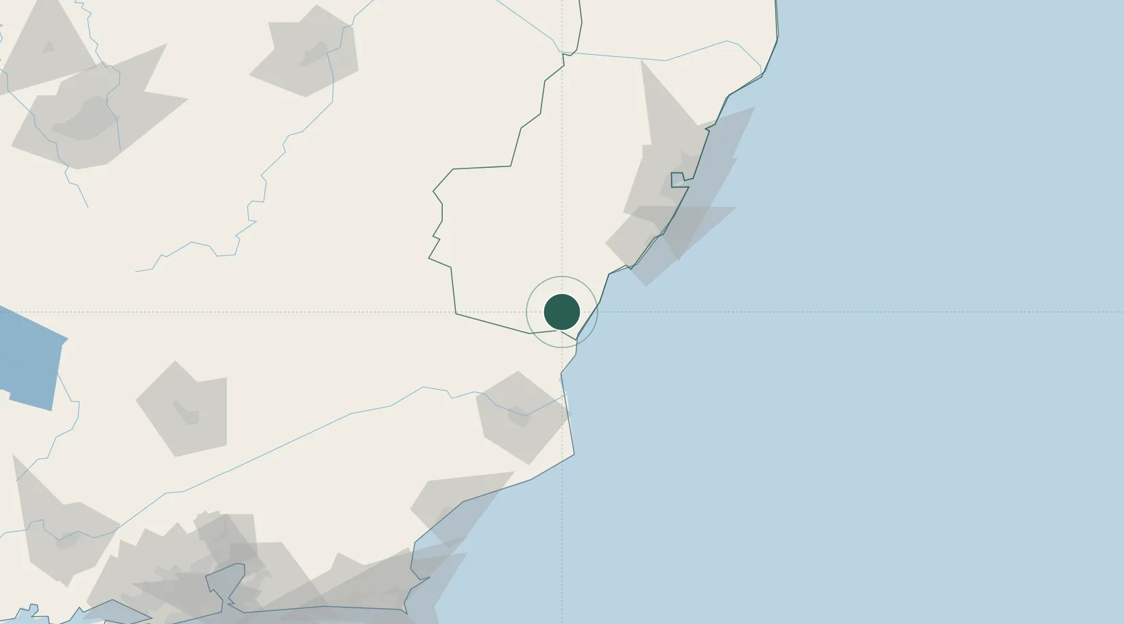
Presidente Kennedy
-21.1000°, -41.0500°
13,696
Population
2
Transport functions
Transport Functions
Port
Road
Hub Profile
Place type
Populated place
Region
Espírito Santo
Population
13,696
Time zone
America/Sao_Paulo
Elevation
30 m
Location
Nearby Logistics Neighbours
Cities
- 1Itapemirim25 km
- 2Cachoeiro de Itapemirim28 km
- 3Ponta do Ubu Pt / Anchieta62 km
- 4Campos dos Goytacazes77 km
- 5Açu Pt / São João da Barra80 km
Ports
- 1Vitoria115 km
- 2Tubarao123 km
- 3Macae159 km
- 4Porto Do Forno230 km
- 5Niteroi291 km
Airports
Trade Zones
- 1ZPE do Açú (RJ)82 km
- 2ZPE de Aracruz (ES)183 km
- 3ZPE de Itaguaí (RJ)346 km
- 4ZPE de Teófilo Otoni (MG)363 km
- 5ZPE de Uberaba (MG)739 km
DatabookThe Record of Consolidated Knowledge
Brazil beyond logistics?