UN/LOCODE hub · Brazil
BRCGZ
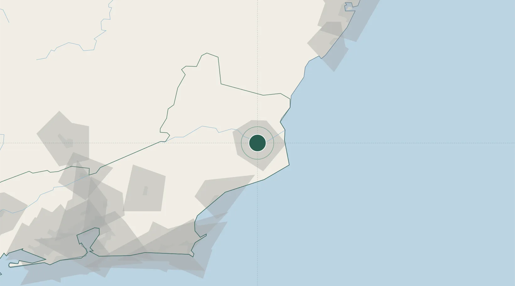
Campos dos Goytacazes
-21.7500°, -41.3167°
511,168
Population
3
Transport functions
Transport Functions
Port
Road
Airport
Hub Profile
Place type
Provincial seat
Region
Rio de Janeiro
Population
511,168
Time zone
America/Sao_Paulo
Elevation
13 m
Location
Nearby Logistics Neighbours
Cities
- 1Açu Pt / São João da Barra32 km
- 2Presidente Kennedy77 km
- 3Macaé83 km
- 4Itapemirim97 km
- 5Cachoeiro de Itapemirim103 km
Ports
- 1Macae83 km
- 2Porto Do Forno153 km
- 3Vitoria189 km
- 4Tubarao197 km
- 5Niteroi224 km
Airports
- 1Bartolomeu Lisandro Airport6 km
- 2Macaé Benedito Lacerda Airport81 km
- 3Umberto Modiano Airport132 km
- 4Guarapari Airport150 km
- 5Cabo Frio Airport152 km
Trade Zones
- 1ZPE do Açú (RJ)30 km
- 2ZPE de Aracruz (ES)259 km
- 3ZPE de Itaguaí (RJ)284 km
- 4ZPE de Teófilo Otoni (MG)432 km
- 5ZPE de Uberaba (MG)730 km
DatabookThe Record of Consolidated Knowledge
Brazil beyond logistics?