UN/LOCODE hub · Brazil
BRACX

Açu Pt / São João da Barra

-21.8167°, -41.0167°
1
Transport functions

Transport Functions

Port
UN/LOCODE

Hub Profile

Region
RJ
GeoNames

Location

Location of BRACX
Natural Earth 10m (public domain) · RJ · BRACX · -21.82, -41.02GoogleOSMYandex

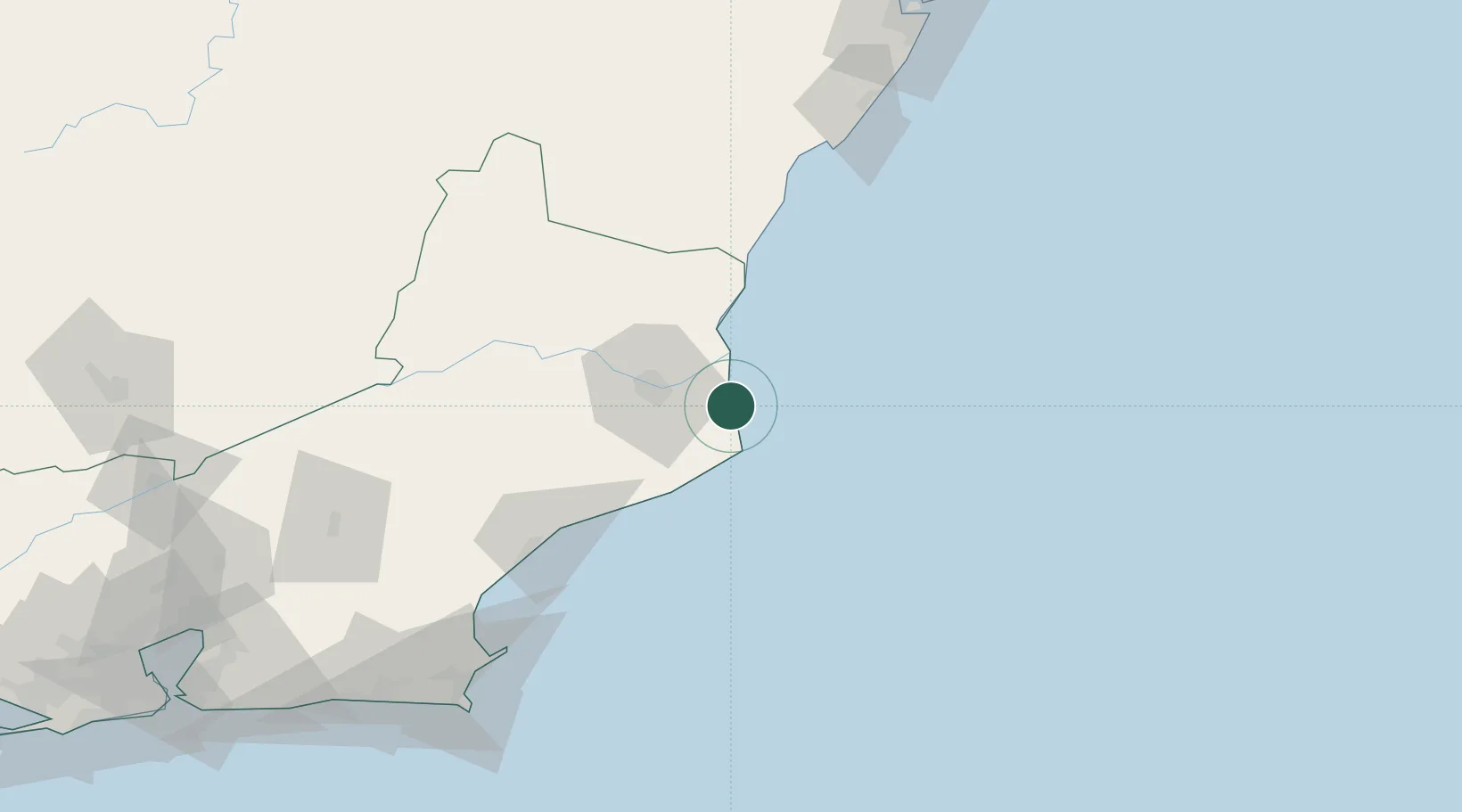
Nearby Logistics Neighbours

Cities
  1. 1Campos dos Goytacazes32 km
  2. 2Presidente Kennedy80 km
  3. 3Itapemirim93 km
  4. 4Macaé99 km
  5. 5Cachoeiro de Itapemirim108 km
Nearest neighbours — logibook spatial index (haversine) over the source coordinates
Ports
  1. 1Macae99 km
  2. 2Porto Do Forno164 km
  3. 3Vitoria181 km
  4. 4Tubarao188 km
  5. 5Niteroi246 km
Nearest neighbours — logibook spatial index (haversine) over the source coordinates
Airports
  1. 1Bartolomeu Lisandro Airport32 km
  2. 2Macaé Benedito Lacerda Airport97 km
  3. 3Guarapari Airport141 km
  4. 4Umberto Modiano Airport144 km
  5. 5Cabo Frio Airport164 km
Nearest neighbours — logibook spatial index (haversine) over the source coordinates
Trade Zones
  1. 1ZPE do Açú (RJ)3 km
  2. 2ZPE de Aracruz (ES)251 km
  3. 3ZPE de Itaguaí (RJ)309 km
  4. 4ZPE de Teófilo Otoni (MG)442 km
  5. 5ZPE de Uberaba (MG)762 km
Nearest neighbours — logibook spatial index (haversine) over the source coordinates
DatabookThe Record of Consolidated Knowledge
Brazil beyond logistics?
Browse databook

All Sources

LocationsUN/LOCODE
UN/LOCODE — free
Portsthe NGA World Port Index
Public domain (US gov)
AirportsOurAirports
Public domain
Trade Zonesthe World Bank SEZ database
CC BY 4.0
Trade ZonesOpen Zone Map
CC BY
← Brazil locations