UN/LOCODE hub · Brazil
BRPLE
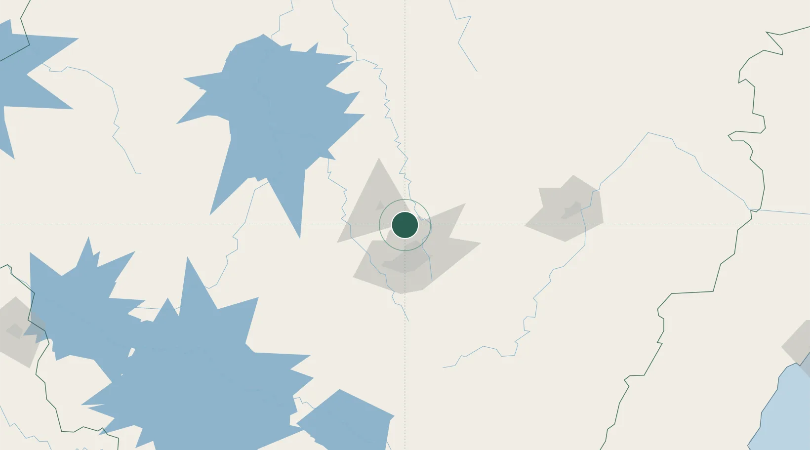
Pedro Leopoldo
-19.6167°, -44.0333°
62,580
Population
2
Transport functions
Transport Functions
Rail
Road
Hub Profile
Place type
Populated place
Region
Minas Gerais
Population
62,580
Time zone
America/Sao_Paulo
Elevation
714 m
Location
Nearby Logistics Neighbours
Cities
- 1Matozinhos9 km
- 2Vespasiano14 km
- 3Prudente de Morais19 km
- 4Santa Luzia25 km
- 5Contagem30 km
Ports
- 1Niteroi375 km
- 2Rio De Janeiro376 km
- 3Angra Dos Reis379 km
- 4Macae386 km
- 5Vitoria394 km
Airports
Trade Zones
- 1ZPE de Teófilo Otoni (MG)331 km
- 2ZPE de Itaguaí (RJ)367 km
- 3ZPE do Açú (RJ)397 km
- 4ZPE de Uberaba (MG)414 km
- 5ZPE de Aracruz (ES)418 km
DatabookThe Record of Consolidated Knowledge
Brazil beyond logistics?