Transport Functions
Rail
Road
Hub Profile
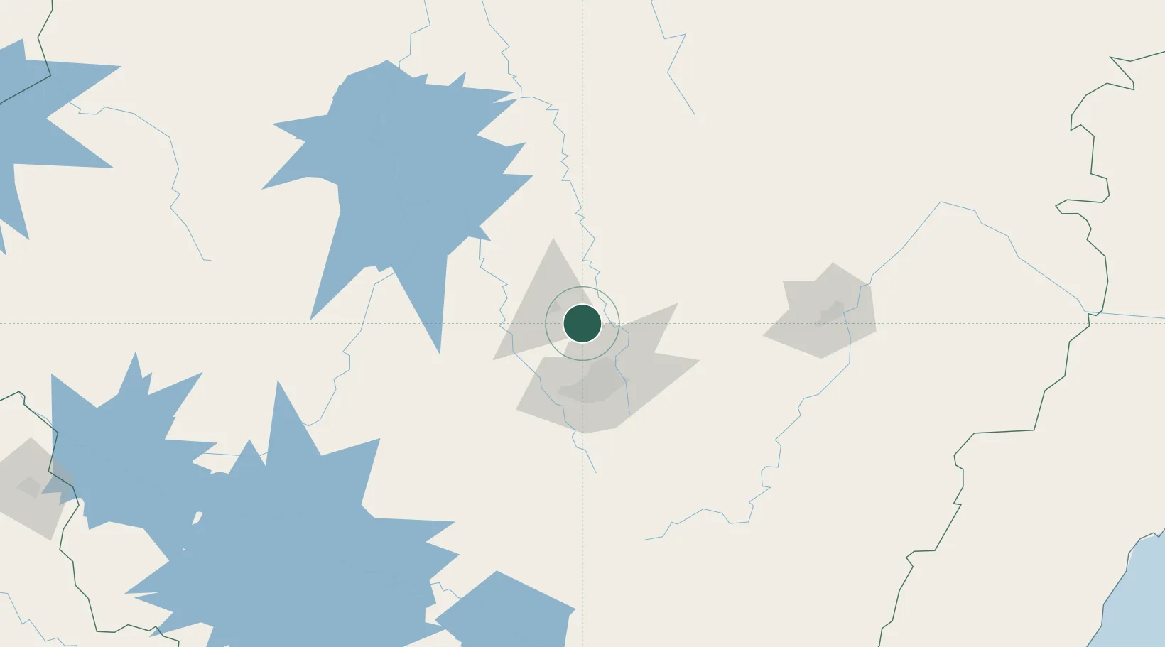
Place type
Populated place
Region
Minas Gerais
Population
37,618
Time zone
America/Sao_Paulo
Elevation
814 m
Location
Nearby Logistics Neighbours
Cities
- 1Pedro Leopoldo9 km
- 2Prudente de Morais10 km
- 3Vespasiano23 km
- 4Santa Luzia34 km
- 5Contagem37 km
Ports
- 1Niteroi384 km
- 2Rio De Janeiro384 km
- 3Angra Dos Reis386 km
- 4Macae395 km
- 5Vitoria401 km
Airports
Trade Zones
- 1ZPE de Teófilo Otoni (MG)332 km
- 2ZPE de Itaguaí (RJ)375 km
- 3ZPE do Açú (RJ)406 km
- 4ZPE de Uberaba (MG)409 km
- 5ZPE de Aracruz (ES)423 km
DatabookThe Record of Consolidated Knowledge
Brazil beyond logistics?