Small airport · Brazil

Tancredo Thomas de Faria AirportSBGU
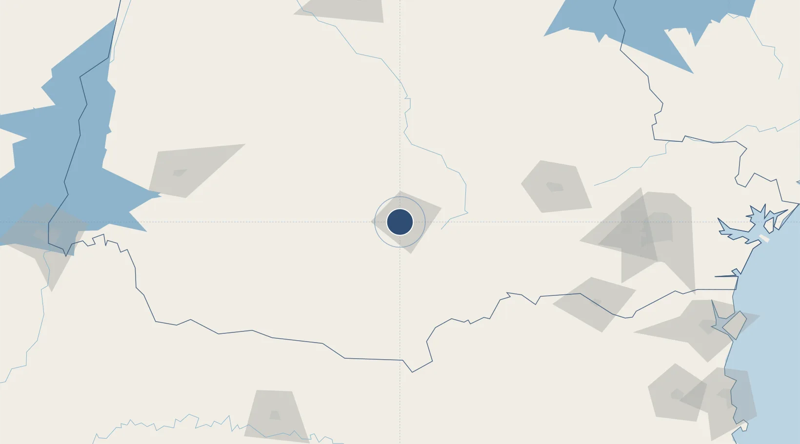
-25.3883°, -51.5235°
5,315 ft
Longest runway
1
Runways
3,494 ft
Elevation

Runway & Layout

Tancredo Thomas de Faria Airport runway & taxiway layout
Runway & taxiway layout — OpenStreetMap (ODbL) / OurAirports

Radio Frequencies

Afis
131.7 MHz
New frequency.
Guarapuava RDO
130.75 MHz
GUARAPUAVA RDO
OurAirports

Runways · 1

RunwayDimensions SurfaceTrue headingLit
8/26 5,315 × 98ft Asphalt
OurAirports

Airport Specifications

IATA code
GPB
OurAirports
ICAO code
SSGG
OurAirports
Airport class
Small airport
OurAirports
Scheduled service
Yes
OurAirports
Runway surface
Asphalt
OurAirports
Served city
Guarapuava
OurAirports

Location

Location of SBGU
Natural Earth 10m (public domain) · Paraná · SBGU · -25.39, -51.52GoogleOSMYandex

Nearby Logistics Neighbours

Airports
  1. 1José Cleto Airport105 km
  2. 2Ponta Grossa Airport - Comandante Antonio Amilton Beraldo141 km
  3. 3Telêmaco Borba Airport148 km
  4. 4Juvenal Loureiro Cardoso Airport149 km
  5. 5Paulo Abdala Airport171 km
Nearest neighbours — logibook spatial index (haversine) over the source coordinates
Cities
  1. 1Guarapuava7 km
  2. 2Ponta Grossa142 km
  3. 3Ortigueira146 km
  4. 4Cascavel185 km
  5. 5Araucária214 km
Nearest neighbours — logibook spatial index (haversine) over the source coordinates
Ports
  1. 1Paranagua302 km
  2. 2Sao Francisco305 km
  3. 3Itajai335 km
  4. 4Imbituba425 km
  5. 5Laguna440 km
Nearest neighbours — logibook spatial index (haversine) over the source coordinates
Trade Zones
  1. 1Zona Franca Puerto Iguazu Free Trade Zone306 km
  2. 2Zona Franca Internacional320 km
  3. 3Zona Franca Global321 km
  4. 4ZPE de Imbituba (SC)385 km
  5. 5ZPE de Bataguassú (MS)421 km
Nearest neighbours — logibook spatial index (haversine) over the source coordinates
DatabookThe Record of Consolidated Knowledge
Brazil beyond logistics?
Browse databook

All Sources

AirportsOurAirports
Public domain
Portsthe NGA World Port Index
Public domain (US gov)
LocationsUN/LOCODE
UN/LOCODE — free
Trade Zonesthe World Bank SEZ database
CC BY 4.0
Trade ZonesOpen Zone Map
CC BY
InfrastructureOpenStreetMap
ODbL 1.0
← Brazil airports