Medium airport · Brazil
Ponta Grossa Airport - Comandante Antonio Amilton BeraldoSBPG
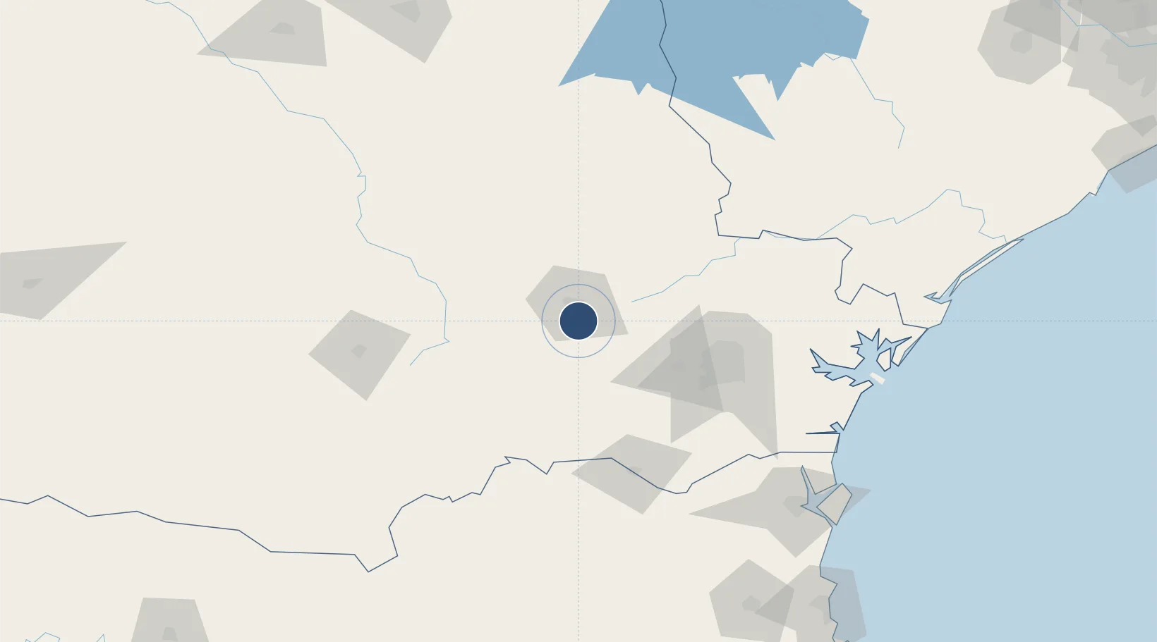
-25.1845°, -50.1438°
4,692 ft
Longest runway
1
Runways
2,588 ft
Elevation
Runway & Layout

Radio Frequencies
AFIS
128.1 MHz
Runways · 1
| Runway | Dimensions | Surface | True heading | Lit |
|---|---|---|---|---|
| 08/26 | 4,692 × 98ft | Asphalt | — | — |
Airport Specifications
IATA code
PGZ
ICAO code
SBPG
Airport class
Medium airport
Scheduled service
Yes
Runway surface
Asphalt
Served city
Ponta Grossa
Location
Nearby Logistics Neighbours
Airports
- 1Sikorski Heliport75 km
- 2Bacacheri Airport95 km
- 3Curitiba-Afonso Pena International Airport105 km
- 4Telêmaco Borba Airport109 km
- 5Tancredo Thomas de Faria Airport141 km
Cities
- 1Ponta Grossa11 km
- 2Rio Branco do Sul83 km
- 3Almirante Tamandaré86 km
- 4Araucária87 km
- 5Curitiba100 km
Ports
- 1Paranagua167 km
- 2Sao Francisco192 km
- 3Itajai245 km
- 4Imbituba369 km
- 5Laguna393 km
Trade Zones
- 1ZPE de Imbituba (SC)313 km
- 2Zona Franca Puerto Iguazu Free Trade Zone446 km
- 3ZPE de Bataguassú (MS)452 km
- 4Zona Franca Internacional460 km
- 5Zona Franca Global461 km
DatabookThe Record of Consolidated Knowledge
Brazil beyond logistics?