UN/LOCODE hub · Brazil
BRPTG

Ponta Grossa

-25.0833°, -50.1500°
292,177
Population
3
Transport functions

Transport Functions

Rail
Road
Airport
UN/LOCODE

Hub Profile

Place type
Populated place
GeoNames
Region
Paraná
GeoNames
Population
292,177
GeoNames
Time zone
America/Sao_Paulo
GeoNames
Elevation
954 m
GeoNames

Location

Location of BRPTG
Natural Earth 10m (public domain) · Paraná · BRPTG · -25.08, -50.15GoogleOSMYandex

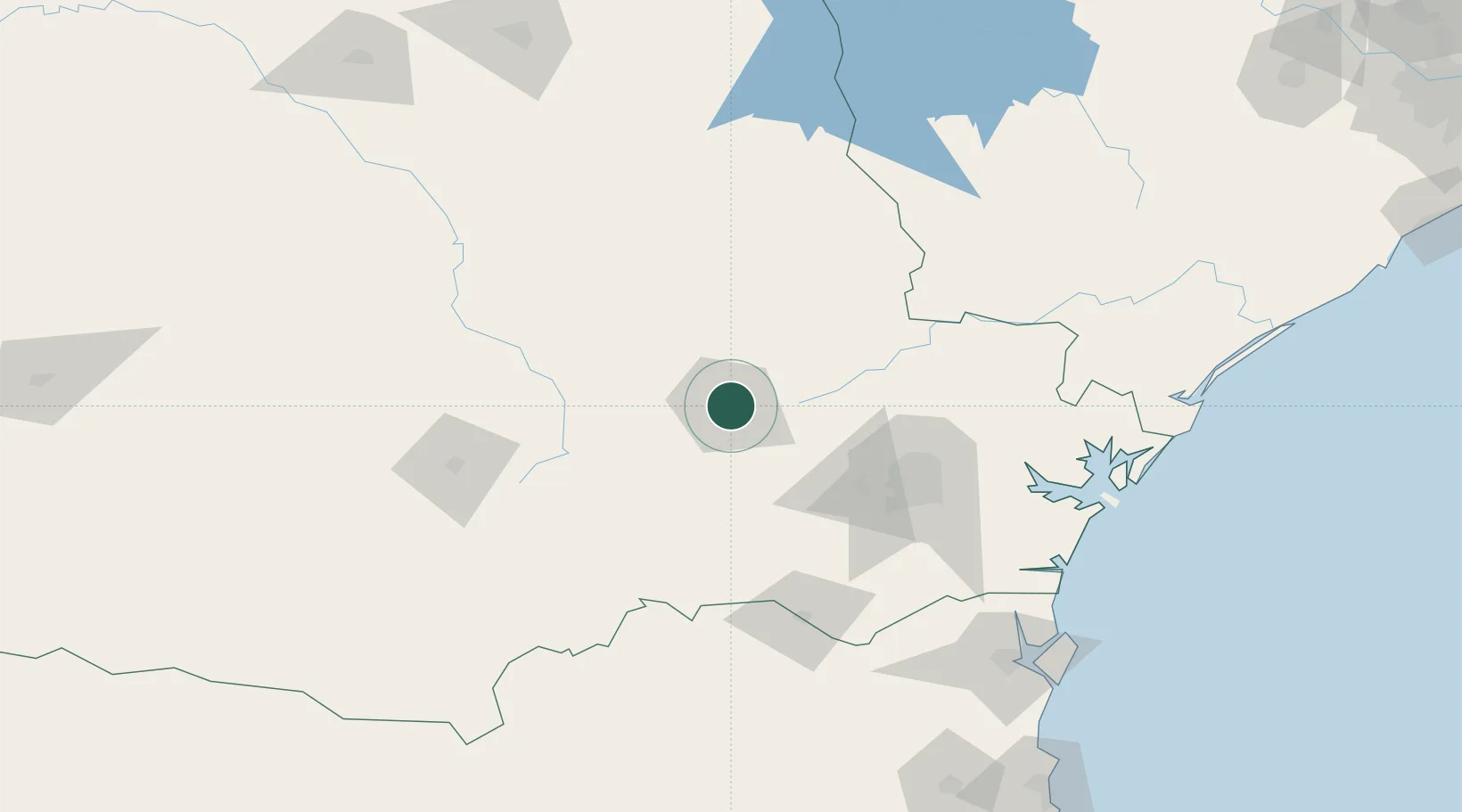
Nearby Logistics Neighbours

Cities
  1. 1Rio Branco do Sul85 km
  2. 2Almirante Tamandaré89 km
  3. 3Araucária94 km
  4. 4Curitiba105 km
  5. 5Ortigueira125 km
Nearest neighbours — logibook spatial index (haversine) over the source coordinates
Ports
  1. 1Paranagua171 km
  2. 2Sao Francisco200 km
  3. 3Itajai254 km
  4. 4Imbituba380 km
  5. 5Laguna403 km
Nearest neighbours — logibook spatial index (haversine) over the source coordinates
Airports
  1. 1Ponta Grossa Airport - Comandante Antonio Amilton Beraldo11 km
  2. 2Sikorski Heliport81 km
  3. 3Bacacheri Airport99 km
  4. 4Telêmaco Borba Airport99 km
  5. 5Curitiba-Afonso Pena International Airport110 km
Nearest neighbours — logibook spatial index (haversine) over the source coordinates
Trade Zones
  1. 1ZPE de Imbituba (SC)323 km
  2. 2ZPE de Bataguassú (MS)442 km
  3. 3Zona Franca Puerto Iguazu Free Trade Zone447 km
  4. 4Zona Franca Internacional460 km
  5. 5Zona Franca Global461 km
Nearest neighbours — logibook spatial index (haversine) over the source coordinates
DatabookThe Record of Consolidated Knowledge
Brazil beyond logistics?
Browse databook

All Sources

LocationsUN/LOCODE
UN/LOCODE — free
LocationsGeoNames
CC BY 4.0
Portsthe NGA World Port Index
Public domain (US gov)
AirportsOurAirports
Public domain
Trade Zonesthe World Bank SEZ database
CC BY 4.0
Trade ZonesOpen Zone Map
CC BY
← Brazil locations