Small airport · Brazil

Cabo Frio AirportSBCB
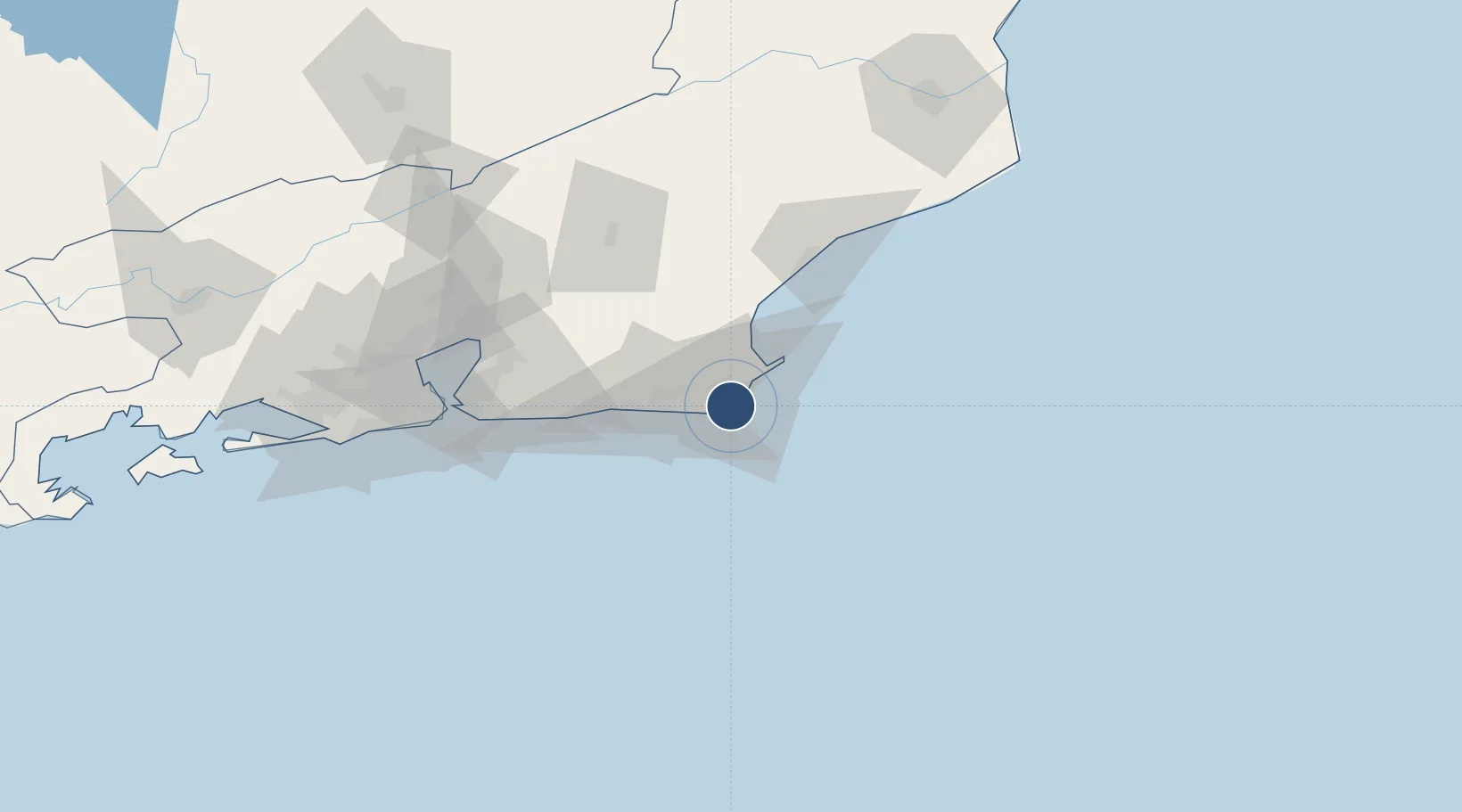
-22.9215°, -42.0719°
8,366 ft
Longest runway
1
Runways
22 ft
Elevation

Runway & Layout

Cabo Frio Airport runway & taxiway layout
Runway & taxiway layout — OpenStreetMap (ODbL) / OurAirports

Radio Frequencies

AFIS
132.15 MHz
RDO
OurAirports

Navaids

CBF NDB Cabo Frio 515 kHz
OurAirports

Runways · 1

RunwayDimensions SurfaceTrue headingLit
10/28 8,366 × 148ft Asphalt
OurAirports

Airport Specifications

IATA code
CFB
OurAirports
ICAO code
SBCB
OurAirports
Airport class
Small airport
OurAirports
Scheduled service
Yes
OurAirports
Runway surface
Asphalt
OurAirports
Served city
Cabo Frio
OurAirports

Location

Location of SBCB
Natural Earth 10m (public domain) · Rio de Janeiro · SBCB · -22.92, -42.07GoogleOSMYandex

Nearby Logistics Neighbours

Airports
  1. 1Umberto Modiano Airport20 km
  2. 2Macaé Benedito Lacerda Airport72 km
  3. 3Santos Dumont Airport112 km
  4. 4Rio Galeão – Tom Jobim International Airport121 km
  5. 5Jacarepaguá - Roberto Marinho Airport133 km
Nearest neighbours — logibook spatial index (haversine) over the source coordinates
Cities
  1. 1Forno Pt / Arraial do Cabo8 km
  2. 2Cabo Frio8 km
  3. 3Armação dos Búzios27 km
  4. 4Macaé69 km
  5. 5Maricá76 km
Nearest neighbours — logibook spatial index (haversine) over the source coordinates
Ports
  1. 1Porto Do Forno8 km
  2. 2Macae69 km
  3. 3Niteroi107 km
  4. 4Rio De Janeiro112 km
  5. 5Angra Dos Reis230 km
Nearest neighbours — logibook spatial index (haversine) over the source coordinates
Trade Zones
  1. 1ZPE do Açú (RJ)161 km
  2. 2ZPE de Itaguaí (RJ)175 km
  3. 3ZPE de Aracruz (ES)411 km
  4. 4ZPE de Teófilo Otoni (MG)565 km
  5. 5ZPE de Uberaba (MG)710 km
Nearest neighbours — logibook spatial index (haversine) over the source coordinates
DatabookThe Record of Consolidated Knowledge
Brazil beyond logistics?
Browse databook

All Sources

AirportsOurAirports
Public domain
Portsthe NGA World Port Index
Public domain (US gov)
LocationsUN/LOCODE
UN/LOCODE — free
Trade Zonesthe World Bank SEZ database
CC BY 4.0
Trade ZonesOpen Zone Map
CC BY
InfrastructureOpenStreetMap
ODbL 1.0
← Brazil airports