UN/LOCODE hub · Brazil
BRIQU
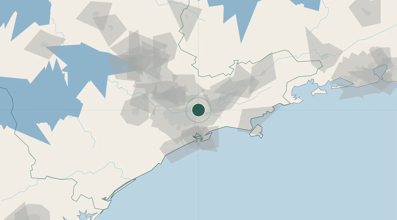
Itaquaquecetuba
-23.4667°, -46.3500°
369,275
Population
2
Transport functions
Transport Functions
Rail
Road
Hub Profile
Place type
Populated place
Region
São Paulo
Population
369,275
Time zone
America/Sao_Paulo
Elevation
748 m
Location
Nearby Logistics Neighbours
Cities
- 1Suzano11 km
- 2Guarulhos17 km
- 3Mogi das Cruzes18 km
- 4Mauá25 km
- 5Santo André27 km
Ports
- 1Santos54 km
- 2Sao Sebastiao104 km
- 3Angra Dos Reis214 km
- 4Paranagua315 km
- 5Rio De Janeiro331 km
Airports
Trade Zones
- 1ZPE de Itaguaí (RJ)270 km
- 2ZPE de Uberaba (MG)452 km
- 3ZPE de Imbituba (SC)511 km
- 4ZPE de Fernandópolis (SP)537 km
- 5ZPE do Açú (RJ)574 km
DatabookThe Record of Consolidated Knowledge
Brazil beyond logistics?