Transport Functions
Road
Multimodal
Hub Profile
Place type
Populated place
Region
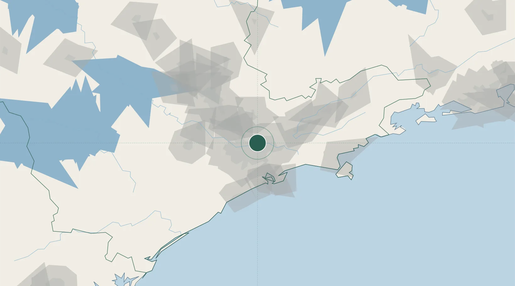
São Paulo
Population
1,169,577
Time zone
America/Sao_Paulo
Elevation
774 m
Location
Nearby Logistics Neighbours
Cities
- 1São Caetano do Sul16 km
- 2Itaquaquecetuba17 km
- 3Santo André20 km
- 4Mauá23 km
- 5Suzano25 km
Ports
- 1Santos58 km
- 2Sao Sebastiao120 km
- 3Angra Dos Reis230 km
- 4Paranagua303 km
- 5Rio De Janeiro348 km
Airports
Trade Zones
- 1ZPE de Itaguaí (RJ)287 km
- 2ZPE de Uberaba (MG)446 km
- 3ZPE de Imbituba (SC)504 km
- 4ZPE de Fernandópolis (SP)524 km
- 5ZPE do Açú (RJ)590 km
DatabookThe Record of Consolidated Knowledge
Brazil beyond logistics?