Transport Functions
Rail
Road
Hub Profile
Place type
Provincial seat
Region
São Paulo
Population
477,552
Time zone
America/Sao_Paulo
Elevation
773 m
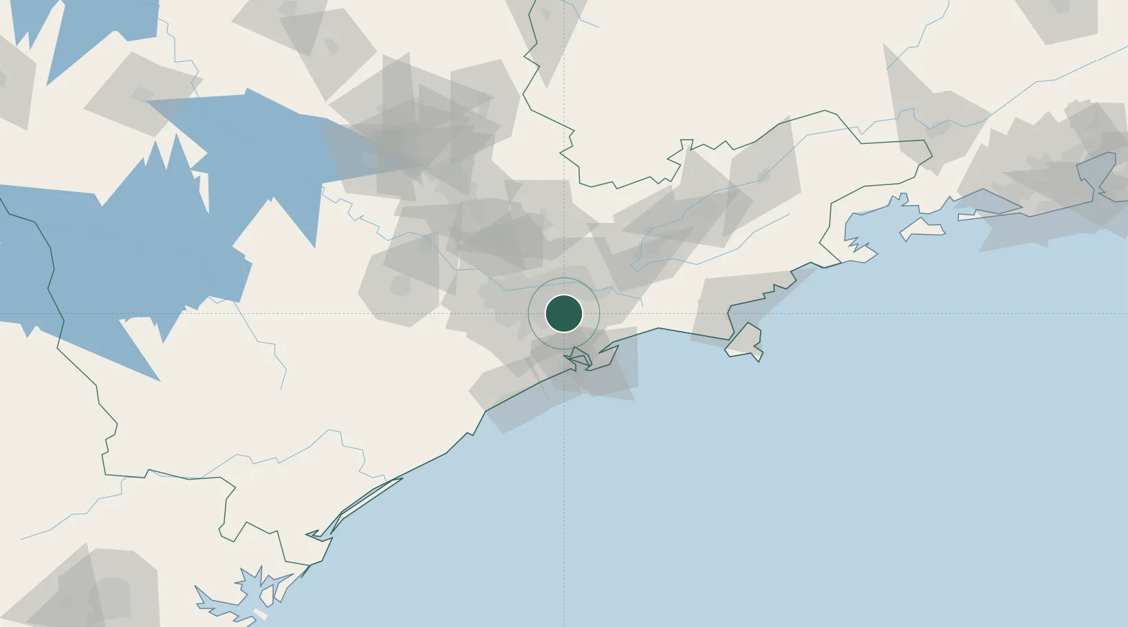
Location
Nearby Logistics Neighbours
Cities
- 1Santo André7 km
- 2São Bernardo do Campo11 km
- 3São Caetano do Sul14 km
- 4Suzano21 km
- 5Cubatão22 km
Ports
- 1Santos35 km
- 2Sao Sebastiao108 km
- 3Angra Dos Reis230 km
- 4Paranagua292 km
- 5Rio De Janeiro346 km
Airports
Trade Zones
- 1ZPE de Itaguaí (RJ)286 km
- 2ZPE de Uberaba (MG)469 km
- 3ZPE de Imbituba (SC)487 km
- 4ZPE de Fernandópolis (SP)544 km
- 5ZPE do Açú (RJ)591 km
DatabookThe Record of Consolidated Knowledge
Brazil beyond logistics?