Transport Functions
Rail
Road
Multimodal
Hub Profile
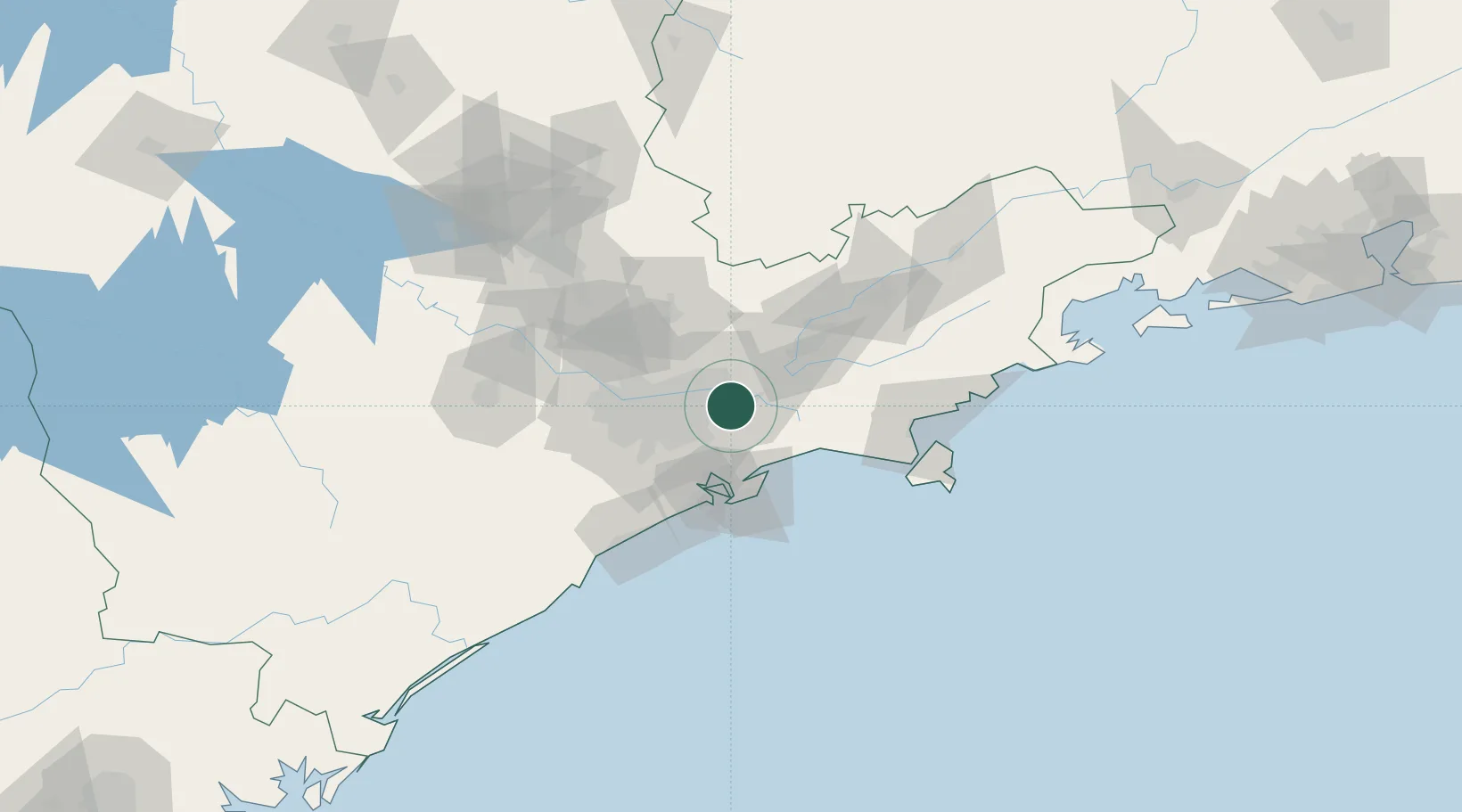
Place type
Populated place
Region
São Paulo
Population
307,429
Time zone
America/Sao_Paulo
Elevation
747 m
Logistics facilities
1
Location
Nearby Logistics Neighbours
Cities
- 1Itaquaquecetuba11 km
- 2Mogi das Cruzes12 km
- 3Mauá21 km
- 4Guarulhos25 km
- 5Santo André26 km
Ports
- 1Santos44 km
- 2Sao Sebastiao95 km
- 3Angra Dos Reis210 km
- 4Paranagua312 km
- 5Rio De Janeiro327 km
Airports
Trade Zones
- 1ZPE de Itaguaí (RJ)267 km
- 2ZPE de Uberaba (MG)463 km
- 3ZPE de Imbituba (SC)505 km
- 4ZPE de Fernandópolis (SP)547 km
- 5ZPE do Açú (RJ)571 km
DatabookThe Record of Consolidated Knowledge
Brazil beyond logistics?