Medium airport · Brazil

Presidente Itamar Franco AirportSBZM
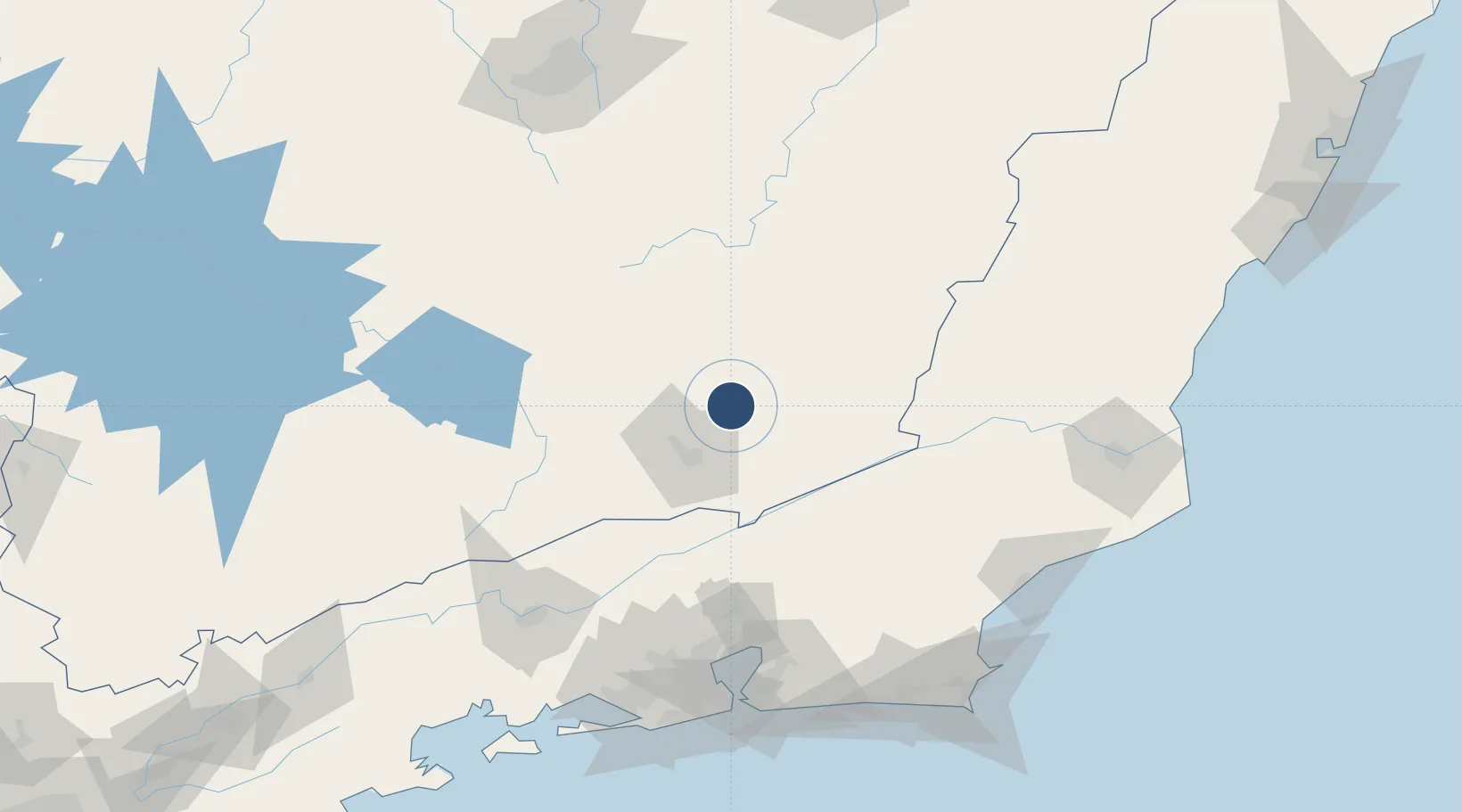
-21.5131°, -43.1731°
8,284 ft
Longest runway
2
Runways
1,348 ft
Elevation

Runway & Layout

Presidente Itamar Franco Airport runway & taxiway layout
Runway & taxiway layout — OpenStreetMap (ODbL) / OurAirports

Radio Frequencies

AFIS
130.1 MHz
Zona da Mata Radio
OurAirports

Runways · 2

RunwayDimensions SurfaceTrue headingLit
08/26 8,284 × 148ft Asphalt
8/26 8,284 × 148ft Asphalt
OurAirports

Airport Specifications

IATA code
IZA
OurAirports
ICAO code
SBZM
OurAirports
Airport class
Medium airport
OurAirports
Scheduled service
Yes
OurAirports
Runway surface
Asphalt
OurAirports
Served city
Juiz de Fora
OurAirports

Location

Location of SBZM
Natural Earth 10m (public domain) · Minas Gerais · SBZM · -21.51, -43.17GoogleOSMYandex

Nearby Logistics Neighbours

Airports
  1. 1Francisco de Assis Airport38 km
  2. 2Major Brigadeiro Doorgal Borges Airport67 km
  3. 3Rio Galeão – Tom Jobim International Airport144 km
  4. 4Campo Délio Jardim de Mattos Airport153 km
  5. 5Santos Dumont Airport155 km
Nearest neighbours — logibook spatial index (haversine) over the source coordinates
Cities
  1. 1Juiz de Fora31 km
  2. 2Barbacena70 km
  3. 3Paraíba do Sul72 km
  4. 4Carandaí90 km
  5. 5Valença97 km
Nearest neighbours — logibook spatial index (haversine) over the source coordinates
Ports
  1. 1Niteroi153 km
  2. 2Rio De Janeiro154 km
  3. 3Macae173 km
  4. 4Porto Do Forno201 km
  5. 5Angra Dos Reis205 km
Nearest neighbours — logibook spatial index (haversine) over the source coordinates
Trade Zones
  1. 1ZPE de Itaguaí (RJ)167 km
  2. 2ZPE do Açú (RJ)223 km
  3. 3ZPE de Aracruz (ES)380 km
  4. 4ZPE de Teófilo Otoni (MG)442 km
  5. 5ZPE de Uberaba (MG)540 km
Nearest neighbours — logibook spatial index (haversine) over the source coordinates
DatabookThe Record of Consolidated Knowledge
Brazil beyond logistics?
Browse databook

All Sources

AirportsOurAirports
Public domain
Portsthe NGA World Port Index
Public domain (US gov)
LocationsUN/LOCODE
UN/LOCODE — free
Trade Zonesthe World Bank SEZ database
CC BY 4.0
Trade ZonesOpen Zone Map
CC BY
InfrastructureOpenStreetMap
ODbL 1.0
← Brazil airports