Transport Functions
Rail
Road
Hub Profile
Place type
Populated place
Region
Minas Gerais
Population
113,343
Time zone
America/Sao_Paulo
Elevation
794 m
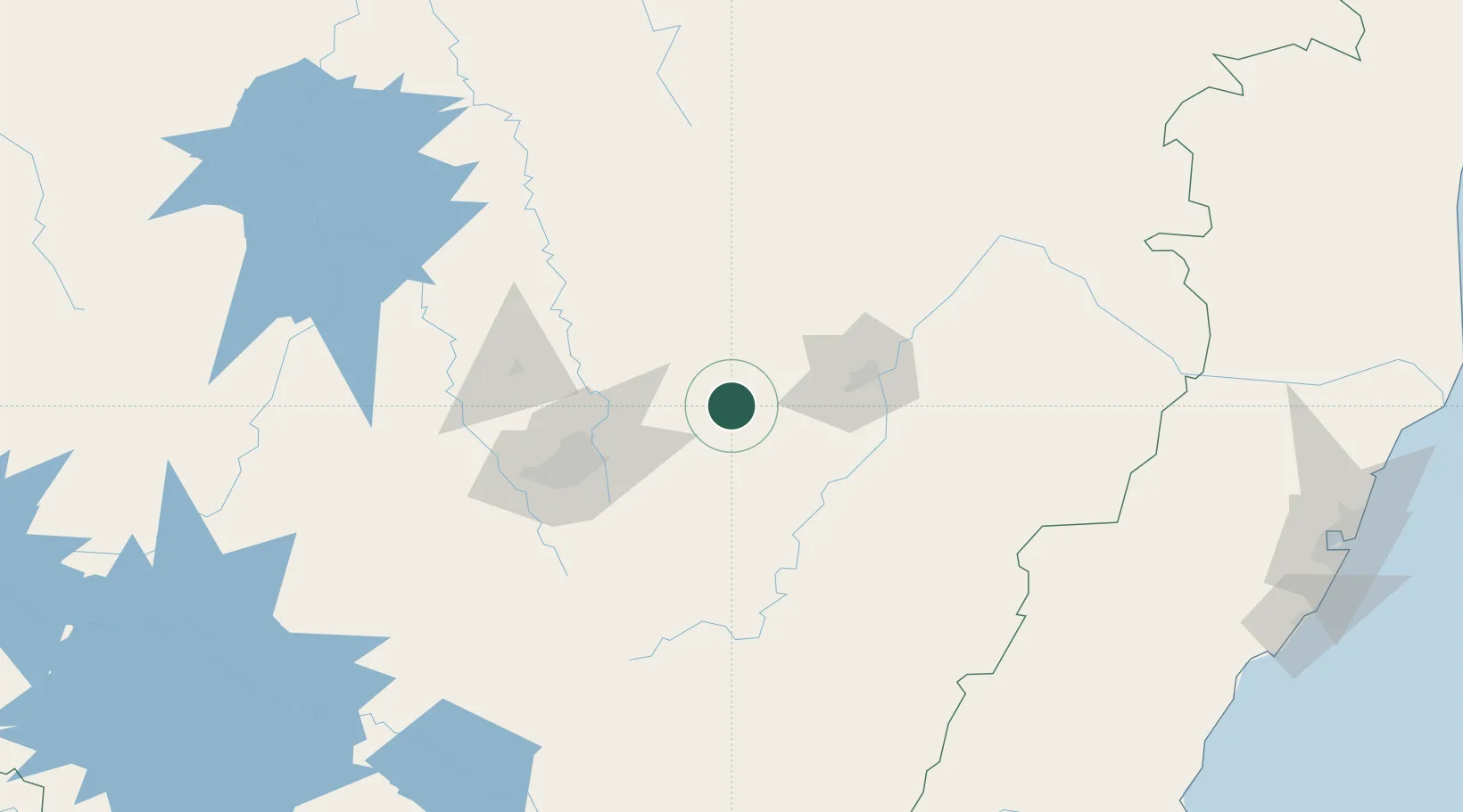
Location
Nearby Logistics Neighbours
Cities
- 1João Monlevade19 km
- 2Nova Era23 km
- 3São Gonçalo do Rio Abaixo24 km
- 4Bela Vista de Minas25 km
- 5Rio Piracicaba36 km
Ports
- 1Vitoria311 km
- 2Tubarao318 km
- 3Macae339 km
- 4Niteroi362 km
- 5Rio De Janeiro363 km
Airports
Trade Zones
- 1ZPE de Teófilo Otoni (MG)268 km
- 2ZPE de Aracruz (ES)332 km
- 3ZPE do Açú (RJ)333 km
- 4ZPE de Itaguaí (RJ)369 km
- 5ZPE de Uberaba (MG)499 km
DatabookThe Record of Consolidated Knowledge
Brazil beyond logistics?