UN/LOCODE hub · Brazil
BRBLM
Bela Vista de Minas
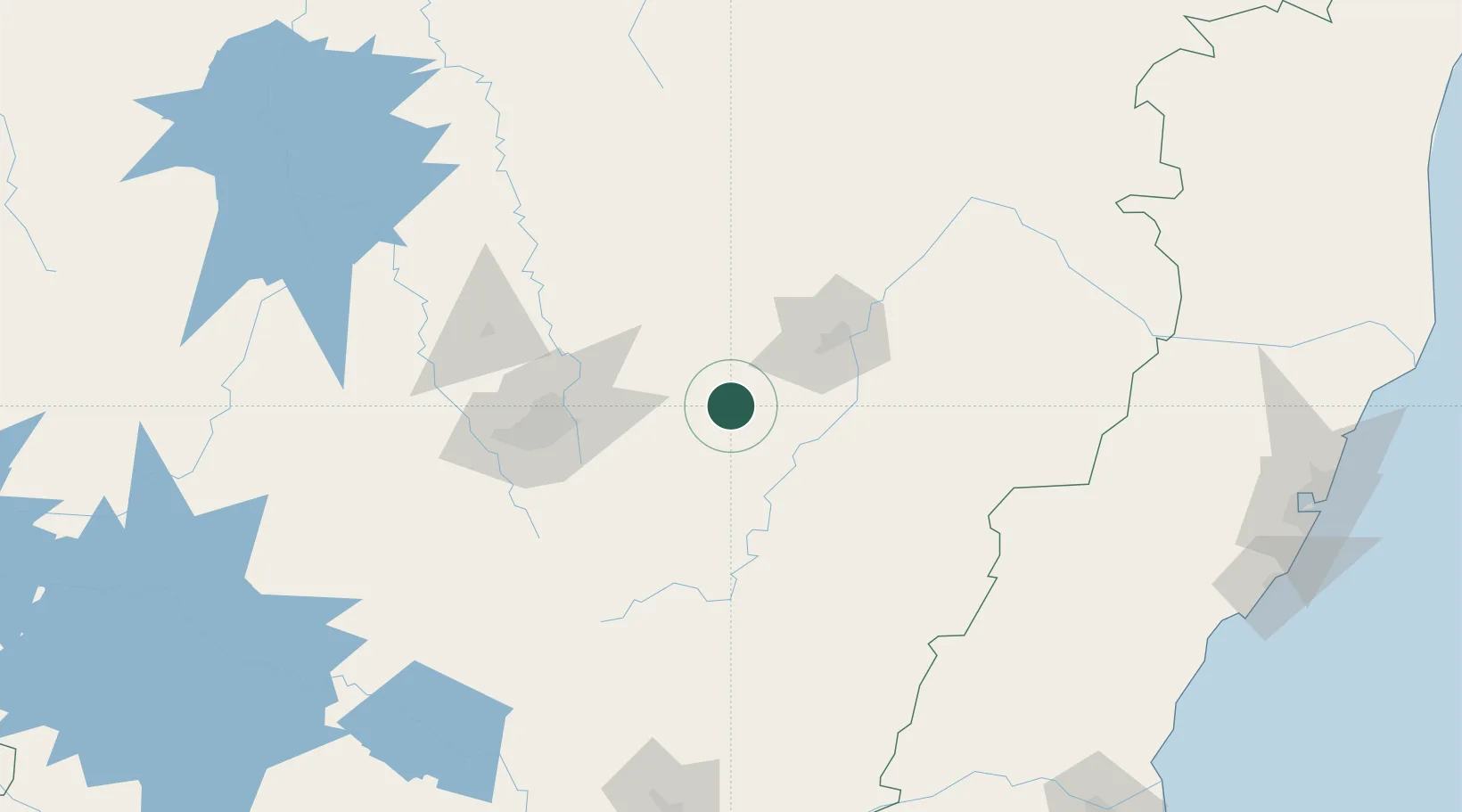
-19.8167°, -43.0833°
10,167
Population
2
Transport functions
Transport Functions
Rail
Road
Hub Profile
Place type
Populated place
Region
Minas Gerais
Population
10,167
Time zone
America/Sao_Paulo
Elevation
720 m
Location
Nearby Logistics Neighbours
Cities
- 1João Monlevade9 km
- 2Nova Era9 km
- 3Rio Piracicaba17 km
- 4Itabira25 km
- 5São Gonçalo do Rio Abaixo26 km
Ports
- 1Vitoria293 km
- 2Tubarao301 km
- 3Macae315 km
- 4Niteroi341 km
- 5Rio De Janeiro343 km
Airports
Trade Zones
- 1ZPE de Teófilo Otoni (MG)274 km
- 2ZPE do Açú (RJ)309 km
- 3ZPE de Aracruz (ES)318 km
- 4ZPE de Itaguaí (RJ)351 km
- 5ZPE de Uberaba (MG)513 km
DatabookThe Record of Consolidated Knowledge
Brazil beyond logistics?