Large airport · Brazil

Santa Genoveva International AirportSBGO
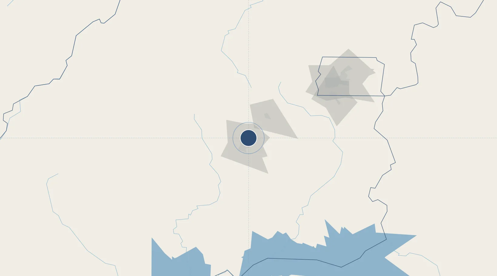
-16.6320°, -49.2207°
7,500 ft
Longest runway
1
Runways
2,450 ft
Elevation

Runway & Layout

Santa Genoveva International Airport runway & taxiway layout
Runway & taxiway layout — OpenStreetMap (ODbL) / OurAirports

Radio Frequencies

ATIS
127.675 MHz
TWR
118.7 MHz
GOIANIA TWR
GND
121.7 MHz
OurAirports

Navaids

GOI VOR-DME Goiania 112.70 MHz
GOI NDB Goiania 370 kHz
OurAirports

Runways · 1

RunwayDimensions SurfaceTrue headingLit
14/32 7,500 × 148ft Asphalt 120°
OurAirports

Airport Specifications

IATA code
GYN
OurAirports
ICAO code
SBGO
OurAirports
Airport class
Large airport
OurAirports
Scheduled service
Yes
OurAirports
Runway surface
Asphalt
OurAirports
Served city
Goiânia
OurAirports

Location

Location of SBGO
Natural Earth 10m (public domain) · Goiás · SBGO · -16.63, -49.22GoogleOSMYandex

Nearby Logistics Neighbours

Airports
  1. 1Anápolis Airbase53 km
  2. 2Fazenda Nova Airport121 km
  3. 3Nelson Ribeiro Guimarães Airport138 km
  4. 4Presidente Juscelino Kubitschek International Airport163 km
  5. 5Pedro Rabelo de Souza Airport258 km
Nearest neighbours — logibook spatial index (haversine) over the source coordinates
Cities
  1. 1Goiânia5 km
  2. 2Anápolis45 km
  3. 3Pires do Rio126 km
  4. 4Luziânia142 km
  5. 5Ipameri166 km
Nearest neighbours — logibook spatial index (haversine) over the source coordinates
Ports
  1. 1Santos869 km
  2. 2Angra Dos Reis876 km
  3. 3Sao Sebastiao891 km
  4. 4Rio De Janeiro942 km
  5. 5Niteroi944 km
Nearest neighbours — logibook spatial index (haversine) over the source coordinates
Trade Zones
  1. 1ZPE de Uberaba (MG)365 km
  2. 2ZPE de Fernandópolis (SP)423 km
  3. 3ZPE de Bataguassú (MS)655 km
  4. 4ZPE de Teófilo Otoni (MG)833 km
  5. 5ZPE de Itaguaí (RJ)900 km
Nearest neighbours — logibook spatial index (haversine) over the source coordinates
DatabookThe Record of Consolidated Knowledge
Brazil beyond logistics?
Browse databook

All Sources

AirportsOurAirports
Public domain
Portsthe NGA World Port Index
Public domain (US gov)
LocationsUN/LOCODE
UN/LOCODE — free
Trade Zonesthe World Bank SEZ database
CC BY 4.0
Trade ZonesOpen Zone Map
CC BY
InfrastructureOpenStreetMap
ODbL 1.0
← Brazil airports