Transport Functions
Rail
Road
Airport
Hub Profile
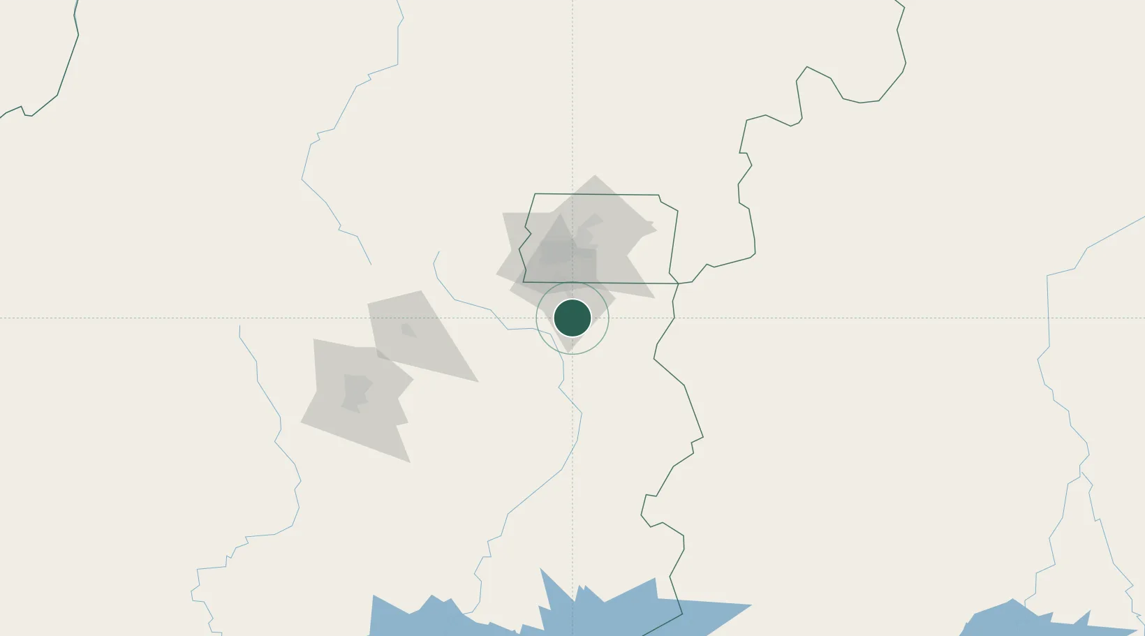
Place type
Populated place
Region
Goiás
Population
209,129
Time zone
America/Sao_Paulo
Elevation
932 m
Location
Nearby Logistics Neighbours
Cities
- 1Brasília52 km
- 2Anápolis107 km
- 3Pires do Rio122 km
- 4Goiânia146 km
- 5Ipameri165 km
Ports
- 1Angra Dos Reis843 km
- 2Santos873 km
- 3Sao Sebastiao881 km
- 4Rio De Janeiro893 km
- 5Niteroi895 km
Airports
Trade Zones
- 1ZPE de Uberaba (MG)383 km
- 2ZPE de Fernandópolis (SP)513 km
- 3ZPE de Teófilo Otoni (MG)710 km
- 4ZPE de Bataguassú (MS)765 km
- 5ZPE de Itaguaí (RJ)860 km
DatabookThe Record of Consolidated Knowledge
Brazil beyond logistics?