Medium airport · Brazil

Anápolis AirbaseSBAN
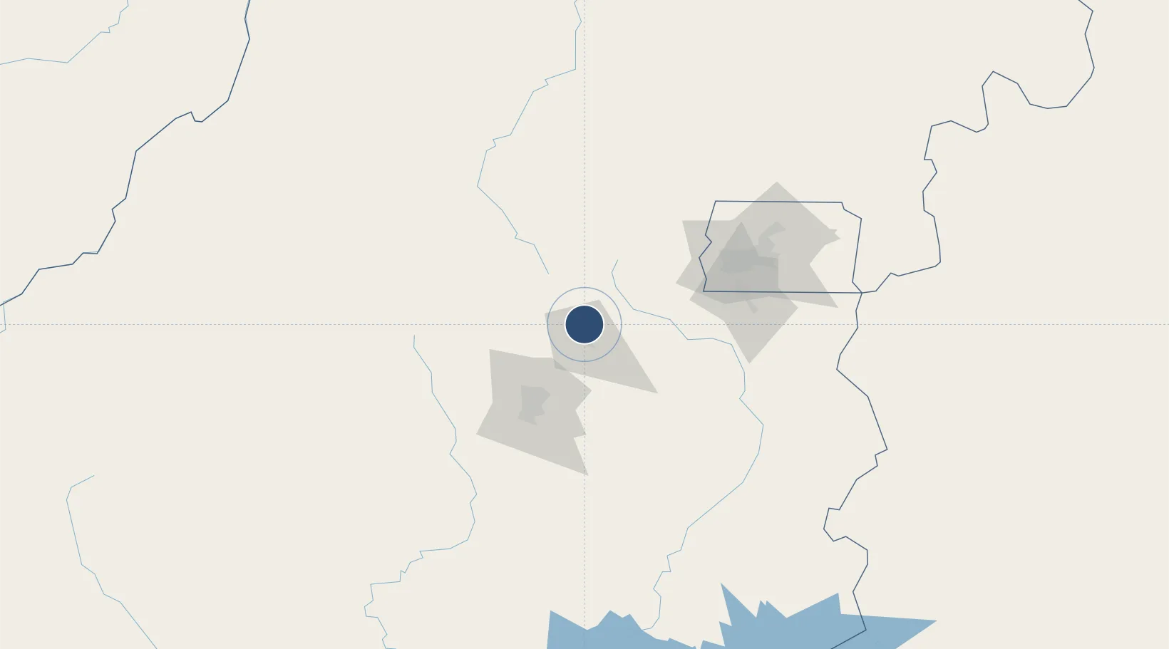
-16.2292°, -48.9643°
10,827 ft
Longest runway
2
Runways
3,731 ft
Elevation

Runway & Layout

Anápolis Airbase runway & taxiway layout
Runway & taxiway layout — OpenStreetMap (ODbL) / OurAirports

Radio Frequencies

TWR
118.3 MHz
GND
121.9 MHz
APP
119.15 MHz
OPS
122.5 MHz
OurAirports

Navaids

ANP VOR-DME Anapolis 115.40 MHz
ANP NDB Anapolis 415 kHz
PP NDB Pororoca 325 kHz
OurAirports

Runways · 2

RunwayDimensions SurfaceTrue headingLit
06L/24R 10,827 × 148ft Asphalt
06R/24L 7,326 × 72ft Asphalt
OurAirports

Airport Specifications

ICAO code
SBAN
OurAirports
Airport class
Medium airport
OurAirports
Scheduled service
No
OurAirports
Runway surface
Asphalt
OurAirports
Served city
Anápolis
OurAirports

Location

Location of SBAN
Natural Earth 10m (public domain) · Goiás · SBAN · -16.23, -48.96GoogleOSMYandex

Nearby Logistics Neighbours

Airports
  1. 1Santa Genoveva International Airport53 km
  2. 2Presidente Juscelino Kubitschek International Airport119 km
  3. 3Fazenda Nova Airport169 km
  4. 4Nelson Ribeiro Guimarães Airport171 km
  5. 5Pedro Rabelo de Souza Airport249 km
Nearest neighbours — logibook spatial index (haversine) over the source coordinates
Cities
  1. 1Anápolis10 km
  2. 2Goiânia57 km
  3. 3Luziânia108 km
  4. 4Brasília126 km
  5. 5Pires do Rio140 km
Nearest neighbours — logibook spatial index (haversine) over the source coordinates
Ports
  1. 1Angra Dos Reis898 km
  2. 2Santos902 km
  3. 3Sao Sebastiao920 km
  4. 4Rio De Janeiro958 km
  5. 5Niteroi960 km
Nearest neighbours — logibook spatial index (haversine) over the source coordinates
Trade Zones
  1. 1ZPE de Uberaba (MG)399 km
  2. 2ZPE de Fernandópolis (SP)474 km
  3. 3ZPE de Bataguassú (MS)707 km
  4. 4ZPE de Teófilo Otoni (MG)816 km
  5. 5ZPE de Itaguaí (RJ)920 km
Nearest neighbours — logibook spatial index (haversine) over the source coordinates
DatabookThe Record of Consolidated Knowledge
Brazil beyond logistics?
Browse databook

All Sources

AirportsOurAirports
Public domain
Portsthe NGA World Port Index
Public domain (US gov)
LocationsUN/LOCODE
UN/LOCODE — free
Trade Zonesthe World Bank SEZ database
CC BY 4.0
Trade ZonesOpen Zone Map
CC BY
InfrastructureOpenStreetMap
ODbL 1.0
← Brazil airports