Transport Functions
Rail
Road
Airport
Hub Profile
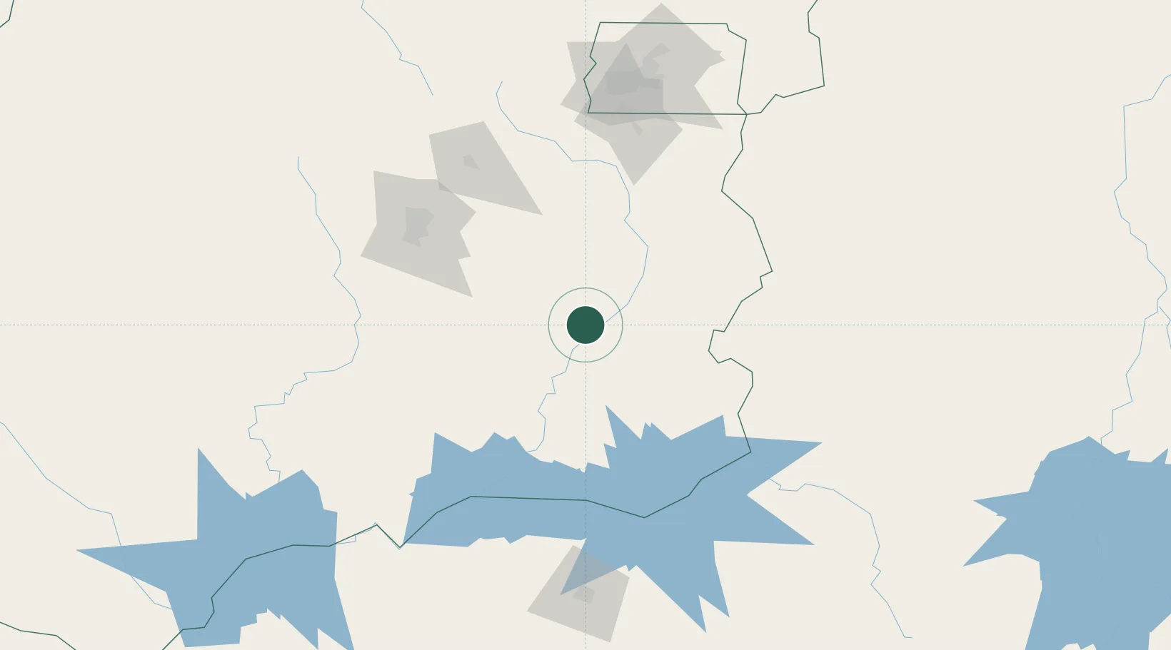
Place type
Populated place
Region
Goiás
Population
32,373
Time zone
America/Sao_Paulo
Elevation
770 m
Location
Nearby Logistics Neighbours
Ports
- 1Angra Dos Reis758 km
- 2Santos767 km
- 3Sao Sebastiao782 km
- 4Rio De Janeiro819 km
- 5Niteroi821 km
Airports
Trade Zones
- 1ZPE de Uberaba (MG)268 km
- 2ZPE de Fernandópolis (SP)395 km
- 3ZPE de Bataguassú (MS)653 km
- 4ZPE de Teófilo Otoni (MG)722 km
- 5ZPE de Itaguaí (RJ)780 km
DatabookThe Record of Consolidated Knowledge
Brazil beyond logistics?