UN/LOCODE hub · Brazil
BRSUT

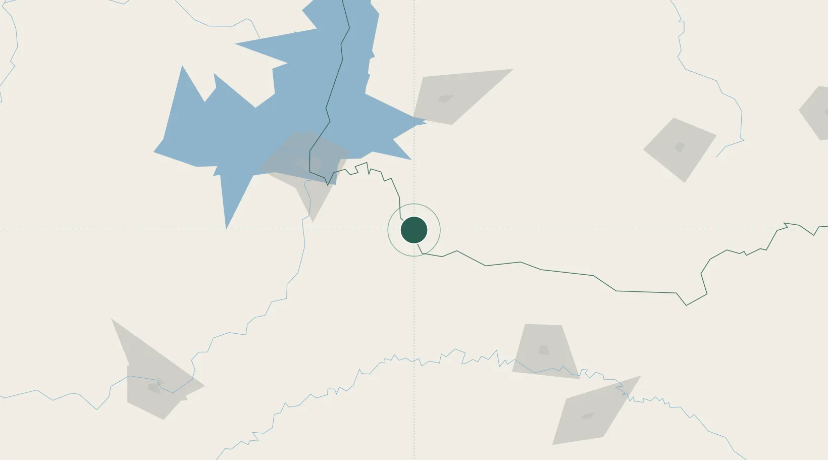
Santo Antônio do Sudoeste

-26.0667°, -53.7167°
28,673
Population
2
Transport functions

Transport Functions

Road
Multimodal
UN/LOCODE

Hub Profile

Place type
Populated place
GeoNames
Region
Paraná
GeoNames
Population
28,673
GeoNames
Time zone
America/Sao_Paulo
GeoNames
Elevation
544 m
GeoNames

Location

Location of BRSUT
Natural Earth 10m (public domain) · Paraná · BRSUT · -26.07, -53.72GoogleOSMYandex

Nearby Logistics Neighbours

Cities
  1. 1Dionísio Cerqueira23 km
  2. 2Capanema45 km
  3. 3Puerto Wanda89 km
  4. 4Santa Helena97 km
  5. 5Santa Terezinha de Itaipu97 km
Nearest neighbours — logibook spatial index (haversine) over the source coordinates
Ports
  1. 1Puerto De Asuncion407 km
  2. 2Porto Alegre504 km
  3. 3Sao Francisco508 km
  4. 4Itajai515 km
  5. 5Paranagua524 km
Nearest neighbours — logibook spatial index (haversine) over the source coordinates
Airports
  1. 1Paulo Abdala Airport65 km
  2. 2Cataratas Del Iguazú International Airport84 km
  3. 3Cataratas International Airport94 km
  4. 4Cooperativa Lar Heliport95 km
  5. 5Juvenal Loureiro Cardoso Airport103 km
Nearest neighbours — logibook spatial index (haversine) over the source coordinates
Trade Zones
  1. 1Zona Franca Puerto Iguazu Free Trade Zone99 km
  2. 2Zona Franca Internacional118 km
  3. 3Zona Franca Global118 km
  4. 4ZPE de Bataguassú (MS)504 km
  5. 5ZPE de Imbituba (SC)540 km
Nearest neighbours — logibook spatial index (haversine) over the source coordinates
DatabookThe Record of Consolidated Knowledge
Brazil beyond logistics?
Browse databook

All Sources

LocationsUN/LOCODE
UN/LOCODE — free
LocationsGeoNames
CC BY 4.0
Portsthe NGA World Port Index
Public domain (US gov)
AirportsOurAirports
Public domain
Trade Zonesthe World Bank SEZ database
CC BY 4.0
Trade ZonesOpen Zone Map
CC BY
← Brazil locations