Small airport · Brazil

Juvenal Loureiro Cardoso AirportSBPO
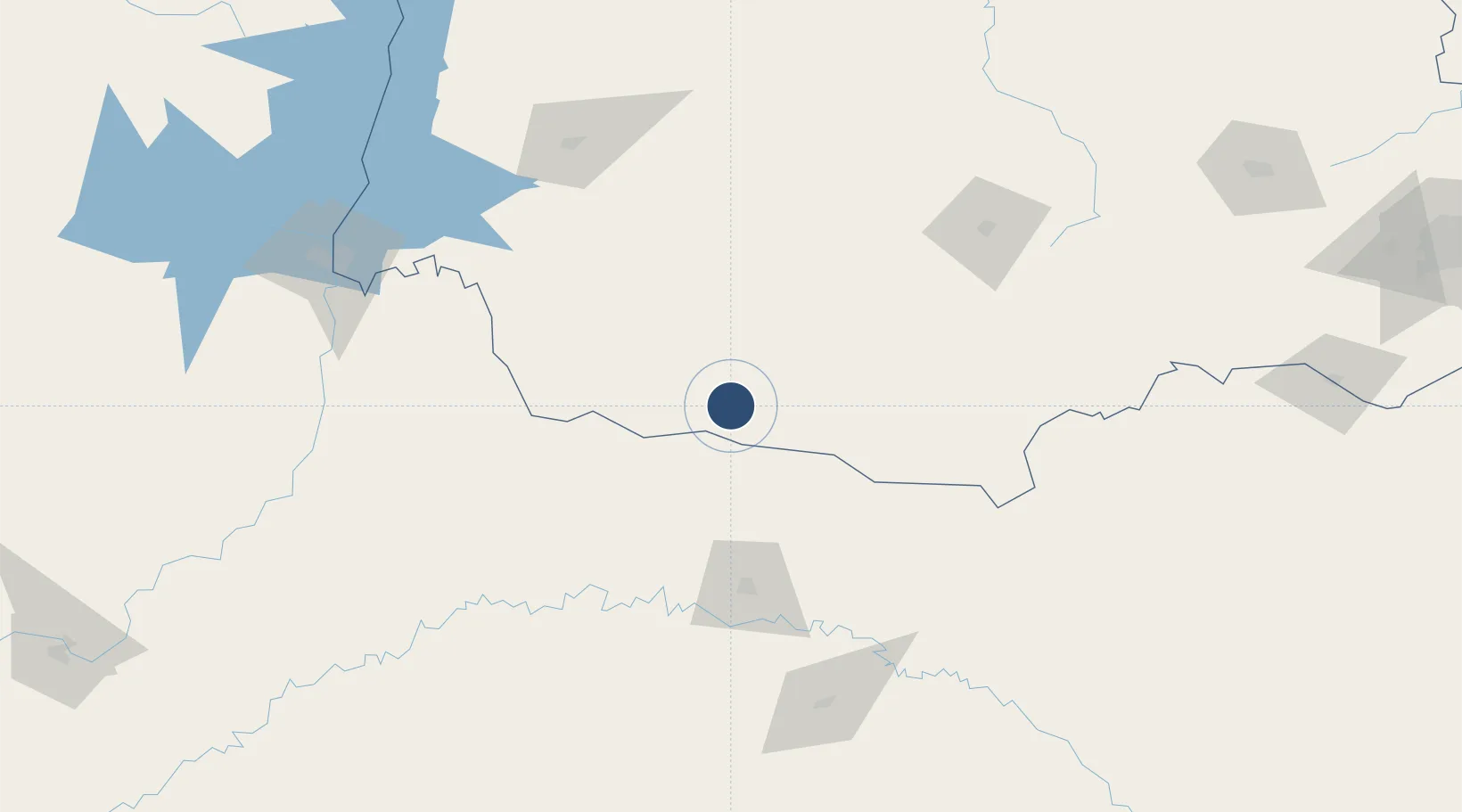
-26.2172°, -52.6945°
5,318 ft
Longest runway
1
Runways
2,697 ft
Elevation

Runway & Layout

Juvenal Loureiro Cardoso Airport runway & taxiway layout
Runway & taxiway layout — OpenStreetMap (ODbL) / OurAirports

Runways · 1

RunwayDimensions SurfaceTrue headingLit
07/25 5,318 × 98ft Asphalt
OurAirports

Airport Specifications

IATA code
PTO
OurAirports
ICAO code
SBPO
OurAirports
Airport class
Small airport
OurAirports
Scheduled service
Yes
OurAirports
Runway surface
Asphalt
OurAirports
Served city
Pato Branco
OurAirports

Location

Location of SBPO
Natural Earth 10m (public domain) · Paraná · SBPO · -26.22, -52.69GoogleOSMYandex

Nearby Logistics Neighbours

Airports
  1. 1Paulo Abdala Airport41 km
  2. 2Serafin Enoss Bertaso Airport102 km
  3. 3Tancredo Thomas de Faria Airport149 km
  4. 4Coronel Adalberto Mendes da Silva Airport158 km
  5. 5José Cleto Airport162 km
Nearest neighbours — logibook spatial index (haversine) over the source coordinates
Cities
  1. 1Dionísio Cerqueira92 km
  2. 2Santo Antônio do Sudoeste103 km
  3. 3Santa Helena122 km
  4. 4Capanema126 km
  5. 5Cascavel150 km
Nearest neighbours — logibook spatial index (haversine) over the source coordinates
Ports
  1. 1Sao Francisco405 km
  2. 2Itajai411 km
  3. 3Paranagua426 km
  4. 4Porto Alegre448 km
  5. 5Imbituba457 km
Nearest neighbours — logibook spatial index (haversine) over the source coordinates
Trade Zones
  1. 1Zona Franca Puerto Iguazu Free Trade Zone199 km
  2. 2Zona Franca Internacional217 km
  3. 3Zona Franca Global217 km
  4. 4ZPE de Imbituba (SC)439 km
  5. 5ZPE de Bataguassú (MS)504 km
Nearest neighbours — logibook spatial index (haversine) over the source coordinates
DatabookThe Record of Consolidated Knowledge
Brazil beyond logistics?
Browse databook

All Sources

AirportsOurAirports
Public domain
Portsthe NGA World Port Index
Public domain (US gov)
LocationsUN/LOCODE
UN/LOCODE — free
Trade Zonesthe World Bank SEZ database
CC BY 4.0
Trade ZonesOpen Zone Map
CC BY
InfrastructureOpenStreetMap
ODbL 1.0
← Brazil airports