Transport Functions
Port
Hub Profile
Place type
Populated place
Region
Maldonado
Population
7,968
Time zone
America/Montevideo
Elevation
0 m
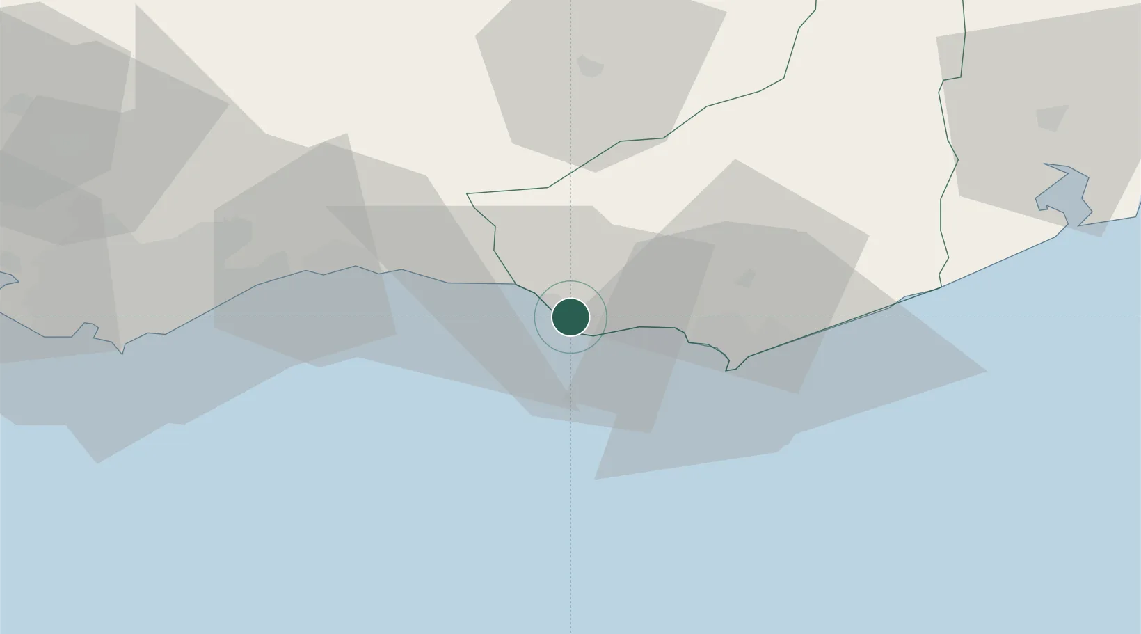
Location
Nearby Logistics Neighbours
Cities
- 1Montevideo89 km
- 2Joanico95 km
- 3Cabo San Antonio175 km
- 4Juan L. Lacaze205 km
- 5Chuí213 km
Ports
- 1Jose Ignacio53 km
- 2Montevideo87 km
- 3La Paloma105 km
- 4Puerto Sauce205 km
- 5La Plata239 km
Airports
Trade Zones
DatabookThe Record of Consolidated Knowledge
Uruguay beyond logistics?