Transport Functions
Port
Road
Airport
Hub Profile
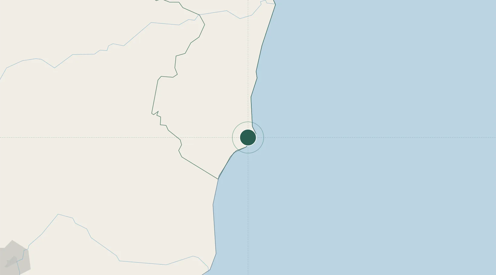
Place type
Populated place
Region
Bahia
Population
2,580
Time zone
America/Bahia
Elevation
5 m
Location
Nearby Logistics Neighbours
Cities
- 1São Mateus126 km
- 2Linhares202 km
- 3Belmonte213 km
- 4Colatina247 km
- 5Barra do Riacho Pt / Aracruz249 km
Ports
- 1Tubarao302 km
- 2Vitoria309 km
- 3Port Of Ilheus329 km
- 4Port De Salvador536 km
- 5Aratu556 km
Airports
- 1Caravelas Airport9 km
- 2Porto Seguro International Airport145 km
- 3Linhares Municipal Airport200 km
- 4Una-Comandatuba Airport266 km
- 5Eletrocity Heliport294 km
Trade Zones
- 1ZPE de Teófilo Otoni (MG)237 km
- 2ZPE de Aracruz (ES)239 km
- 3Zona Franca Ilhéus (BA)351 km
- 4ZPE do Açú (RJ)493 km
- 5ZPE de Itaguaí (RJ)744 km
DatabookThe Record of Consolidated Knowledge
Brazil beyond logistics?