Small airport · Brazil

Una-Comandatuba AirportSBTC
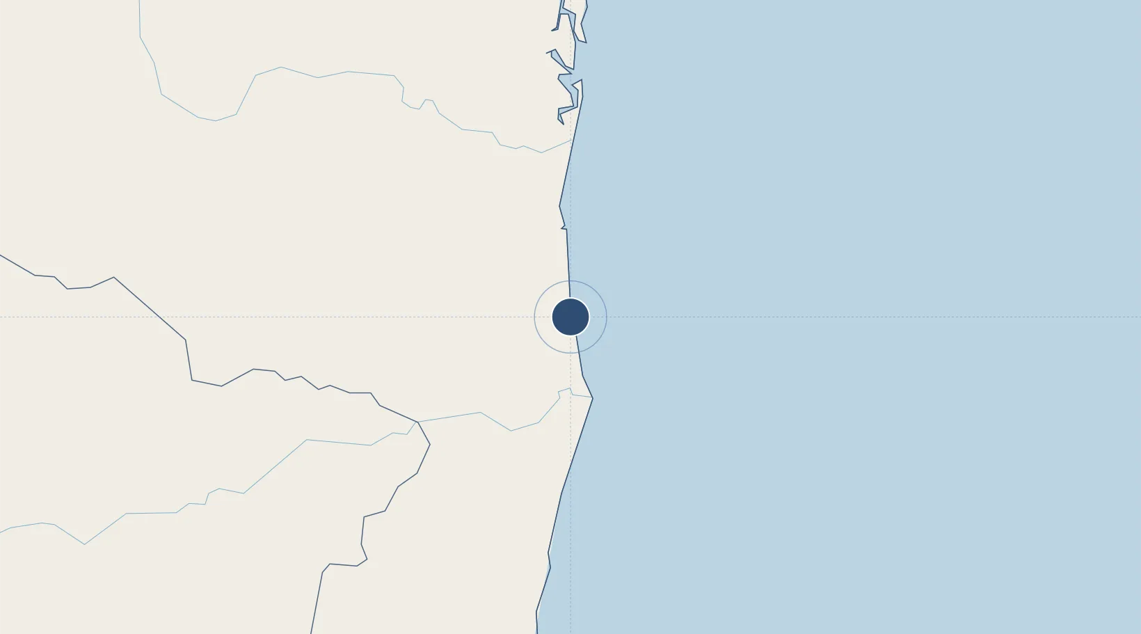
-15.3544°, -38.9987°
6,234 ft
Longest runway
1
Runways
23 ft
Elevation

Runway & Layout

Una-Comandatuba Airport runway & taxiway layout
Runway & taxiway layout — OpenStreetMap (ODbL) / OurAirports

Radio Frequencies

AFIS
130.25 MHz
COMANDATUBA RDO
OurAirports

Navaids

COM NDB Comandatuba 335 kHz
OurAirports

Runways · 1

RunwayDimensions SurfaceTrue headingLit
2/20 6,234 × 98ft Asphalt
OurAirports

Airport Specifications

IATA code
UNA
OurAirports
ICAO code
SBTC
OurAirports
Airport class
Small airport
OurAirports
Scheduled service
Yes
OurAirports
Runway surface
Asphalt
OurAirports
Served city
Una
OurAirports

Location

Location of SBTC
Natural Earth 10m (public domain) · Bahia · SBTC · -15.35, -39.00GoogleOSMYandex

Nearby Logistics Neighbours

Airports
  1. 1Bahia - Jorge Amado Airport60 km
  2. 2Porto Seguro International Airport121 km
  3. 3Barra Grande Airport161 km
  4. 4Glauber de Andrade Rocha Airport212 km
  5. 5Morro de São Paulo Airport214 km
Nearest neighbours — logibook spatial index (haversine) over the source coordinates
Cities
  1. 1Belmonte57 km
  2. 2Ilhéus64 km
  3. 3Salvador186 km
  4. 4Caravelas266 km
  5. 5Simões Filho287 km
Nearest neighbours — logibook spatial index (haversine) over the source coordinates
Ports
  1. 1Port Of Ilheus64 km
  2. 2Port De Salvador271 km
  3. 3Aratu291 km
  4. 4Madre De Deus293 km
  5. 5Port De Aracaju537 km
Nearest neighbours — logibook spatial index (haversine) over the source coordinates
Trade Zones
  1. 1Zona Franca Ilhéus (BA)93 km
  2. 2ZPE de Teófilo Otoni (MG)385 km
  3. 3ZPE de Aracruz (ES)501 km
  4. 4ZPE de Barra dos Coqueiros (SE)539 km
  5. 5ZPE do Açú (RJ)752 km
Nearest neighbours — logibook spatial index (haversine) over the source coordinates
DatabookThe Record of Consolidated Knowledge
Brazil beyond logistics?
Browse databook

All Sources

AirportsOurAirports
Public domain
Portsthe NGA World Port Index
Public domain (US gov)
LocationsUN/LOCODE
UN/LOCODE — free
Trade Zonesthe World Bank SEZ database
CC BY 4.0
Trade ZonesOpen Zone Map
CC BY
InfrastructureOpenStreetMap
ODbL 1.0
← Brazil airports