Large airport · Brazil
Porto Seguro International AirportSBPS
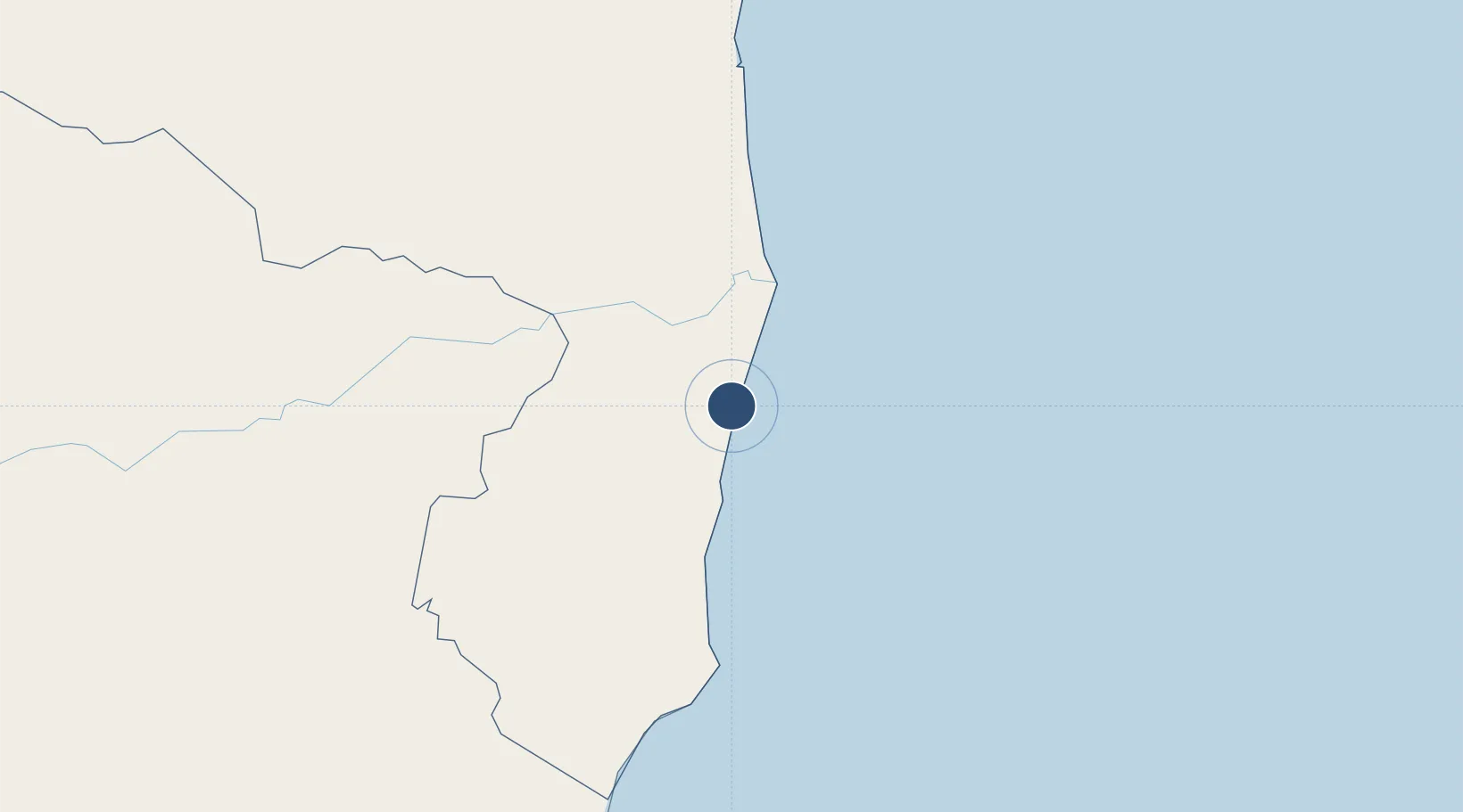
-16.4384°, -39.0806°
6,562 ft
Longest runway
1
Runways
169 ft
Elevation
Runway & Layout

Radio Frequencies
TWR
118.2 MHz
Navaids
SGR NDB Porto Seguro 385 kHz
Runways · 1
| Runway | Dimensions | Surface | True heading | Lit |
|---|---|---|---|---|
| 10/28 | 6,562 × 148ft | ASPH | 074° | ✓ |
Airport Specifications
IATA code
BPS
ICAO code
SBPS
Airport class
Large airport
Scheduled service
Yes
Runway surface
ASPH
Served city
Porto Seguro
Location
Nearby Logistics Neighbours
Airports
- 1Una-Comandatuba Airport121 km
- 2Caravelas Airport136 km
- 3Bahia - Jorge Amado Airport181 km
- 4Glauber de Andrade Rocha Airport260 km
- 5Barra Grande Airport282 km
Cities
- 1Belmonte69 km
- 2Caravelas145 km
- 3Ilhéus184 km
- 4São Mateus266 km
- 5Salvador306 km
Ports
- 1Port Of Ilheus184 km
- 2Port De Salvador391 km
- 3Aratu411 km
- 4Madre De Deus413 km
- 5Tubarao445 km
Trade Zones
- 1Zona Franca Ilhéus (BA)208 km
- 2ZPE de Teófilo Otoni (MG)301 km
- 3ZPE de Aracruz (ES)382 km
- 4ZPE do Açú (RJ)635 km
- 5ZPE de Barra dos Coqueiros (SE)654 km
DatabookThe Record of Consolidated Knowledge
Brazil beyond logistics?