UN/LOCODE hub · Brazil
BRRCH

Barra do Riacho Pt / Aracruz

-19.8500°, -40.0333°
2
Transport functions

Transport Functions

Port
Rail
UN/LOCODE

Hub Profile

Region
ES
GeoNames

Location

Location of BRRCH
Natural Earth 10m (public domain) · ES · BRRCH · -19.85, -40.03GoogleOSMYandex

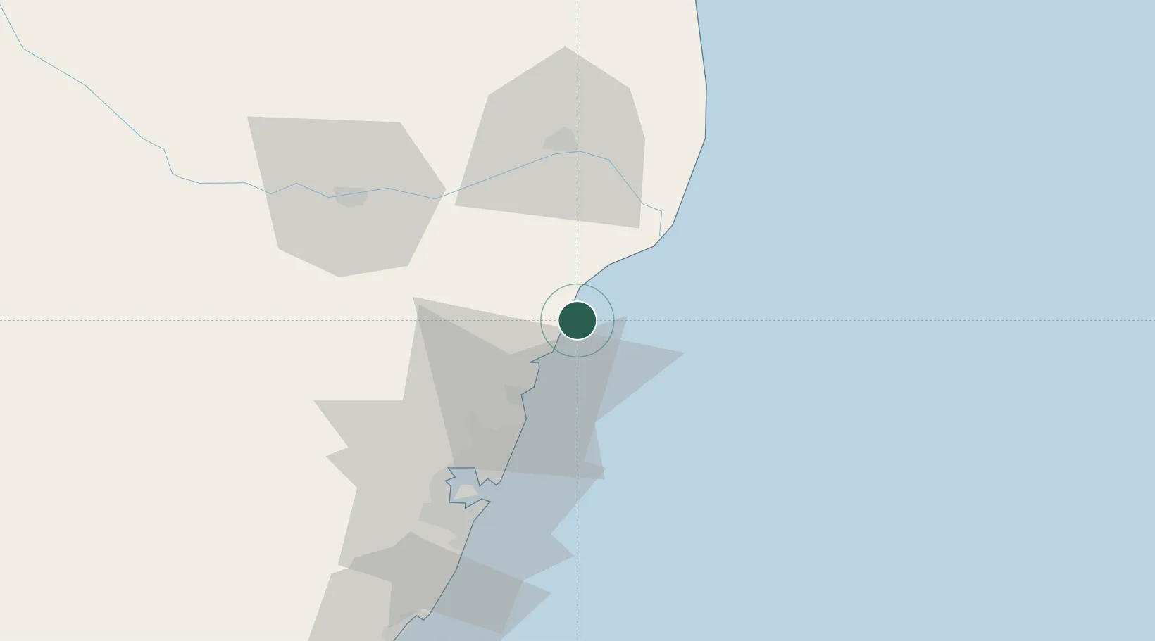
Nearby Logistics Neighbours

Cities
  1. 1João Neiva37 km
  2. 2Serra41 km
  3. 3Tubarão Pt / Vitória50 km
  4. 4Linhares52 km
  5. 5Praia Mole Pt / Vitória54 km
Nearest neighbours — logibook spatial index (haversine) over the source coordinates
Ports
  1. 1Tubarao53 km
  2. 2Vitoria61 km
  3. 3Macae333 km
  4. 4Porto Do Forno403 km
  5. 5Niteroi464 km
Nearest neighbours — logibook spatial index (haversine) over the source coordinates
Airports
  1. 1Eletrocity Heliport45 km
  2. 2Eurico de Aguiar Salles International Airport52 km
  3. 3Linhares Municipal Airport55 km
  4. 4Guarapari Airport101 km
  5. 5Coronel Altino Machado Airport230 km
Nearest neighbours — logibook spatial index (haversine) over the source coordinates
Trade Zones
  1. 1ZPE de Aracruz (ES)12 km
  2. 2ZPE do Açú (RJ)244 km
  3. 3ZPE de Teófilo Otoni (MG)268 km
  4. 4ZPE de Itaguaí (RJ)516 km
  5. 5Zona Franca Ilhéus (BA)591 km
Nearest neighbours — logibook spatial index (haversine) over the source coordinates
DatabookThe Record of Consolidated Knowledge
Brazil beyond logistics?
Browse databook

All Sources

LocationsUN/LOCODE
UN/LOCODE — free
Portsthe NGA World Port Index
Public domain (US gov)
AirportsOurAirports
Public domain
Trade Zonesthe World Bank SEZ database
CC BY 4.0
Trade ZonesOpen Zone Map
CC BY
← Brazil locations