Transport Functions
Port
Road
Airport
Hub Profile
Place type
Populated place
Region
Espírito Santo
Population
123,752
Time zone
America/Sao_Paulo
Elevation
38 m
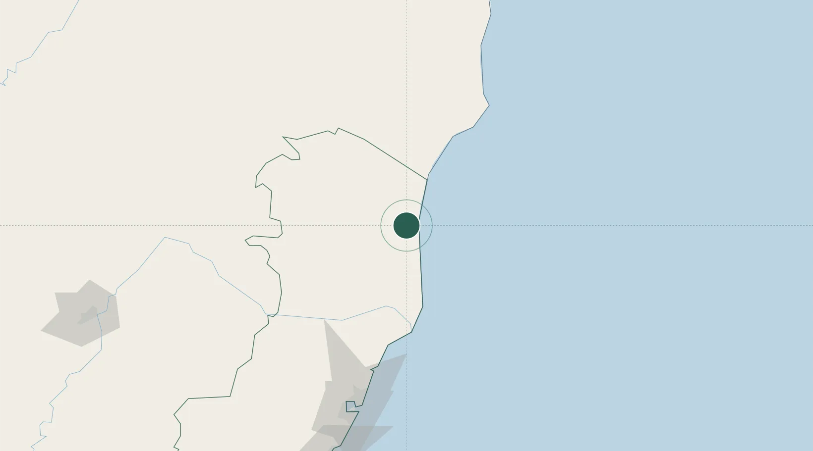
Location
Nearby Logistics Neighbours
Cities
- 1Linhares77 km
- 2Colatina121 km
- 3Caravelas126 km
- 4João Neiva127 km
- 5Barra do Riacho Pt / Aracruz128 km
Ports
- 1Tubarao179 km
- 2Vitoria185 km
- 3Port Of Ilheus446 km
- 4Macae452 km
- 5Porto Do Forno523 km
Airports
- 1Linhares Municipal Airport75 km
- 2Caravelas Airport134 km
- 3Eletrocity Heliport171 km
- 4Eurico de Aguiar Salles International Airport177 km
- 5Guarapari Airport225 km
Trade Zones
- 1ZPE de Aracruz (ES)116 km
- 2ZPE de Teófilo Otoni (MG)197 km
- 3ZPE do Açú (RJ)369 km
- 4Zona Franca Ilhéus (BA)464 km
- 5ZPE de Itaguaí (RJ)619 km
DatabookThe Record of Consolidated Knowledge
Brazil beyond logistics?