Transport Functions
Port
Road
Airport
Hub Profile
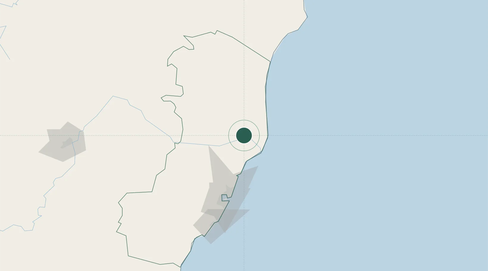
Place type
Populated place
Region
Espírito Santo
Population
166,786
Time zone
America/Sao_Paulo
Elevation
36 m
Location
Nearby Logistics Neighbours
Cities
- 1Barra do Riacho Pt / Aracruz52 km
- 2João Neiva53 km
- 3Colatina62 km
- 4São Mateus77 km
- 5Serra88 km
Ports
- 1Tubarao102 km
- 2Vitoria108 km
- 3Macae377 km
- 4Porto Do Forno448 km
- 5Niteroi503 km
Airports
- 1Linhares Municipal Airport4 km
- 2Eletrocity Heliport94 km
- 3Eurico de Aguiar Salles International Airport100 km
- 4Guarapari Airport148 km
- 5Caravelas Airport210 km
Trade Zones
- 1ZPE de Aracruz (ES)40 km
- 2ZPE de Teófilo Otoni (MG)227 km
- 3ZPE do Açú (RJ)292 km
- 4Zona Franca Ilhéus (BA)540 km
- 5ZPE de Itaguaí (RJ)550 km
DatabookThe Record of Consolidated Knowledge
Brazil beyond logistics?