Medium airport · Brazil

Rubem Berta AirportSBUG
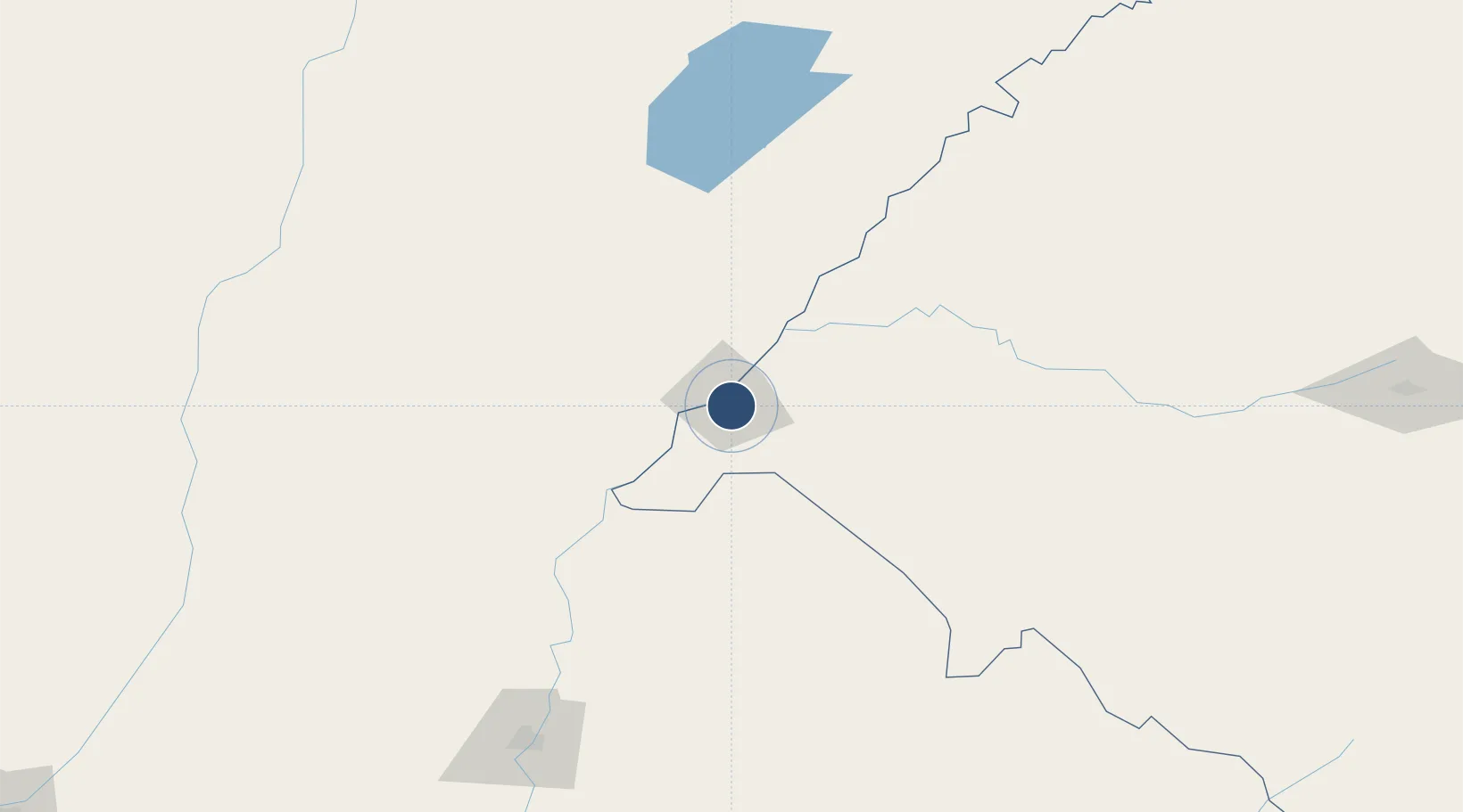
-29.7822°, -57.0382°
4,921 ft
Longest runway
2
Runways
256 ft
Elevation

Runway & Layout

Rubem Berta Airport runway & taxiway layout
Runway & taxiway layout — OpenStreetMap (ODbL) / OurAirports

Radio Frequencies

AFIS
118.1 MHz
URUGUAIANA RDO
OurAirports

Navaids

URG NDB Uruguaiana 275 kHz
OurAirports

Runways · 2

RunwayDimensions SurfaceTrue headingLit
9/27 4,921 × 98ft Asphalt
4/22 2,625 × 164ft Grass
OurAirports

Airport Specifications

IATA code
URG
OurAirports
ICAO code
SBUG
OurAirports
Airport class
Medium airport
OurAirports
Scheduled service
Yes
OurAirports
Runway surface
Asphalt
OurAirports
Served city
Uruguaiana
OurAirports

Location

Location of SBUG
Natural Earth 10m (public domain) · Rio Grande do Sul · SBUG · -29.78, -57.04GoogleOSMYandex

Nearby Logistics Neighbours

Airports
  1. 1Paso De Los Libres Airport15 km
  2. 2Monte Caseros Airport80 km
  3. 3Curuzu Cuatia Airport91 km
  4. 4Comodoro Pierrestegui Airport192 km
  5. 5Pres. Gral. Óscar D. Gestido Binational Airport200 km
Nearest neighbours — logibook spatial index (haversine) over the source coordinates
Cities
  1. 1Uruguaiana5 km
  2. 2Barra do Quaraí68 km
  3. 3Quaraí86 km
  4. 4Itaqui88 km
  5. 5Mocoretá130 km
Nearest neighbours — logibook spatial index (haversine) over the source coordinates
Ports
  1. 1Concordia204 km
  2. 2Colon290 km
  3. 3Paysandu298 km
  4. 4Concepcion Del Uruguay321 km
  5. 5Fray Bentos390 km
Nearest neighbours — logibook spatial index (haversine) over the source coordinates
Trade Zones
  1. 1Rivera Free Zone192 km
  2. 2UPM Fray Bentos Free Zone389 km
  3. 3Zona Franca UPM389 km
  4. 4Nueva Palmira Free Zone475 km
  5. 5Florida Free Zone488 km
Nearest neighbours — logibook spatial index (haversine) over the source coordinates
DatabookThe Record of Consolidated Knowledge
Brazil beyond logistics?
Browse databook

All Sources

AirportsOurAirports
Public domain
Portsthe NGA World Port Index
Public domain (US gov)
LocationsUN/LOCODE
UN/LOCODE — free
Trade Zonesthe World Bank SEZ database
CC BY 4.0
Trade ZonesOpen Zone Map
CC BY
InfrastructureOpenStreetMap
ODbL 1.0
← Brazil airports