Transport Functions
Road
Multimodal
Hub Profile
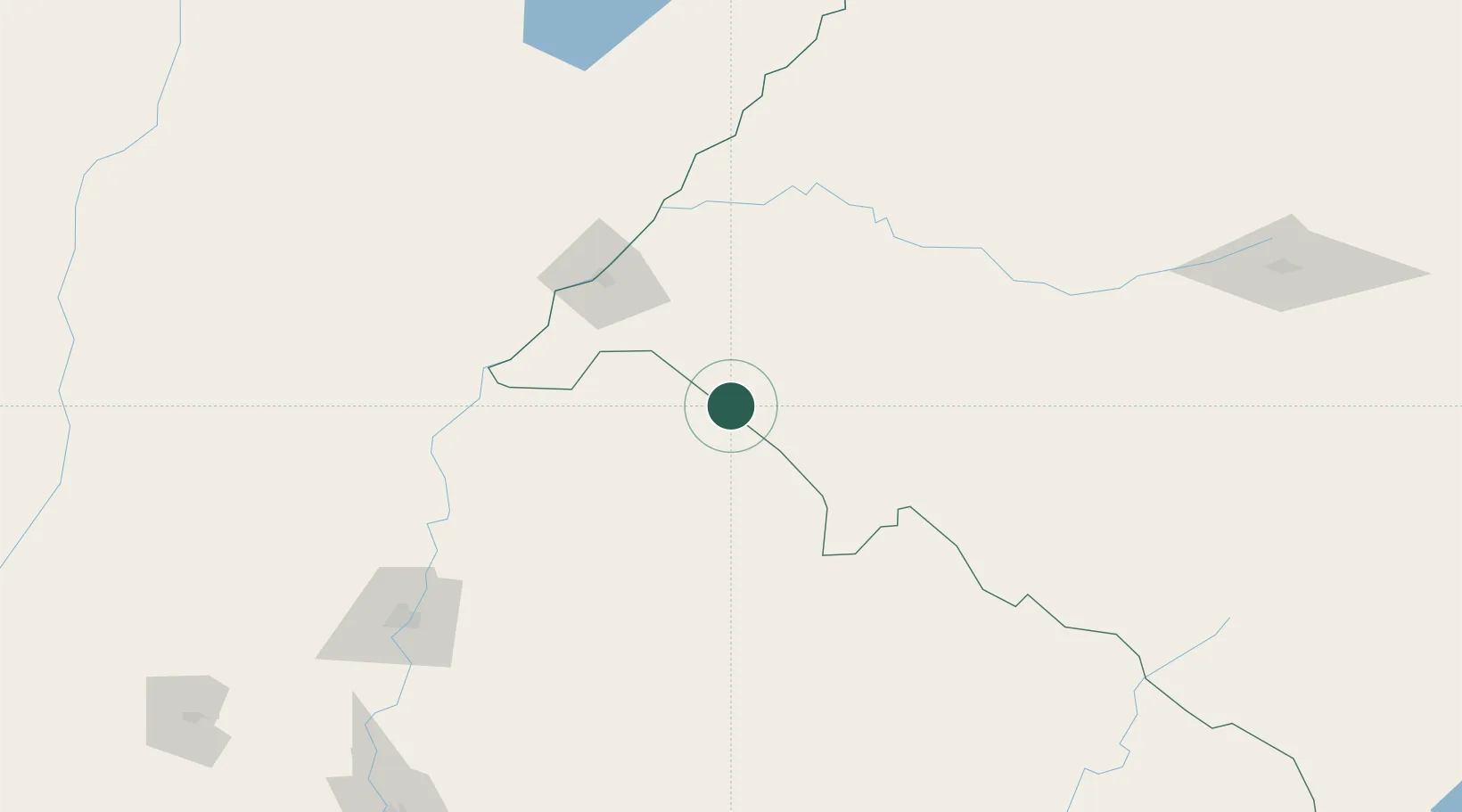
Place type
Populated place
Region
Rio Grande do Sul
Population
23,500
Time zone
America/Sao_Paulo
Elevation
115 m
Location
Nearby Logistics Neighbours
Cities
- 1Uruguaiana91 km
- 2Sant'Ana do Livramento105 km
- 3Barra do Quaraí107 km
- 4Itaqui139 km
- 5Mocoretá148 km
Ports
- 1Concordia190 km
- 2Colon261 km
- 3Paysandu266 km
- 4Concepcion Del Uruguay290 km
- 5Fray Bentos353 km
Airports
- 1Rubem Berta Airport86 km
- 2Paso De Los Libres Airport101 km
- 3Monte Caseros Airport115 km
- 4Pres. Gral. Óscar D. Gestido Binational Airport115 km
- 5Curuzu Cuatia Airport161 km
Trade Zones
- 1Rivera Free Zone107 km
- 2UPM Fray Bentos Free Zone351 km
- 3Zona Franca UPM351 km
- 4Florida Free Zone417 km
- 5Nueva Palmira Free Zone433 km
DatabookThe Record of Consolidated Knowledge
Brazil beyond logistics?