Transport Functions
Port
Road
Hub Profile
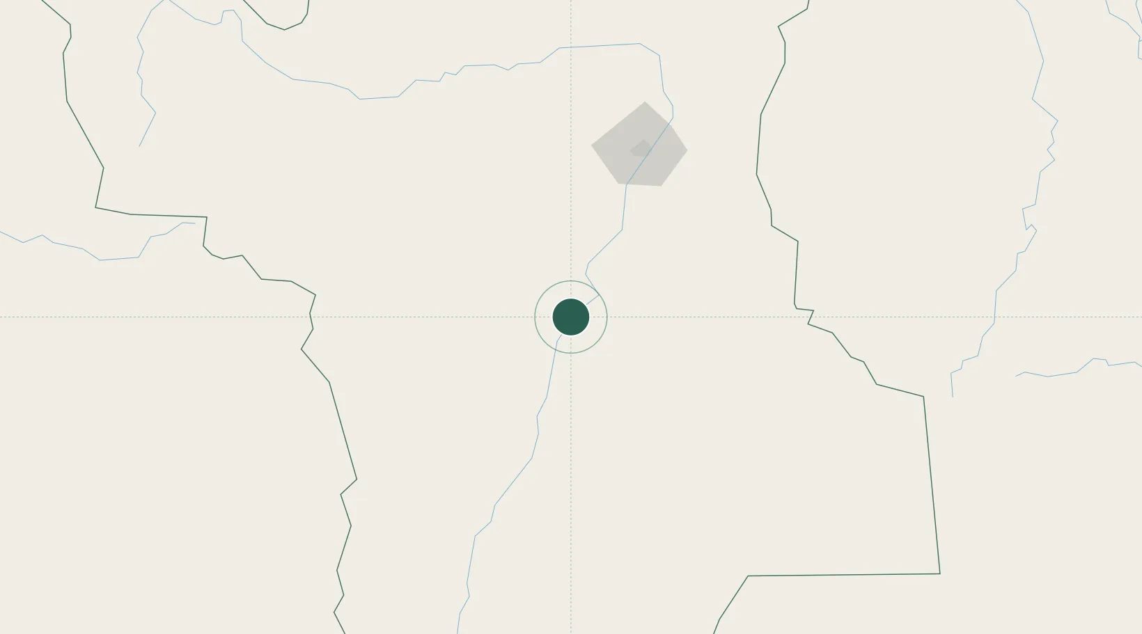
Place type
Populated place
Region
Roraima
Population
20,957
Time zone
America/Boa_Vista
Elevation
53 m
Location
Nearby Logistics Neighbours
Cities
- 1Bonfim223 km
- 2Pacaraima297 km
- 3Santa Elena de Uairén313 km
- 4Barcelos366 km
- 5Kinkora482 km
Ports
- 1Manaus562 km
- 2Linden563 km
- 3Itacoatiara626 km
- 4New Amsterdam637 km
- 5Georgetown649 km
Airports
- 1Atlas Brasil Cantanhede International Airport126 km
- 2Lethem Airport230 km
- 3Santa Elena de Uairén Airport306 km
- 4Barcelos Airport368 km
- 5Kaieteur Airport418 km
Trade Zones
DatabookThe Record of Consolidated Knowledge
Brazil beyond logistics?