Transport Functions
Port
Road
Airport
Hub Profile
Place type
Populated place
Region
Amazonas
Population
18,626
Time zone
America/Manaus
Elevation
35 m
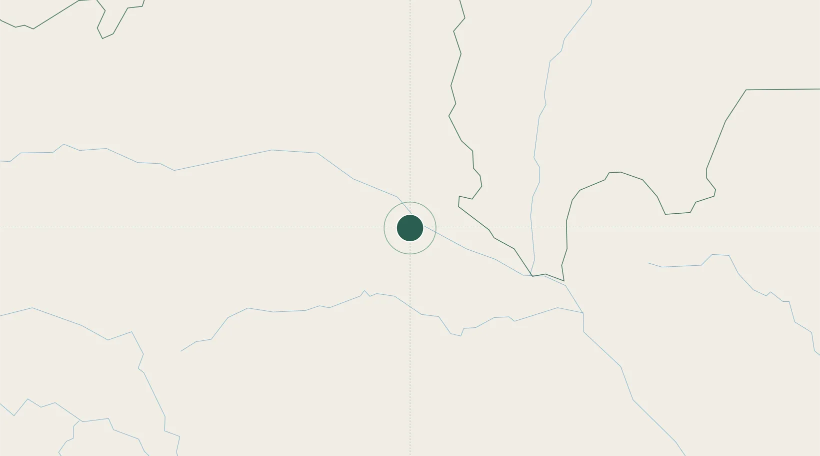
Location
Nearby Logistics Neighbours
Cities
- 1Santa Isabel do Rio Negro241 km
- 2Novo Airão287 km
- 3Tefé329 km
- 4Codajás333 km
- 5Coari347 km
Ports
- 1Manaus402 km
- 2Itacoatiara553 km
- 3Santarem926 km
- 4Linden929 km
- 5New Amsterdam1002 km
Airports
- 1Barcelos Airport2 km
- 2Tapuruquara Airport240 km
- 3Tefé Airport335 km
- 4Eduardo Gomes International Airport393 km
- 5Ponta Pelada Airport / Manaus Air Base406 km
Trade Zones
DatabookThe Record of Consolidated Knowledge
Brazil beyond logistics?