Transport Functions
Road
Multimodal
Hub Profile
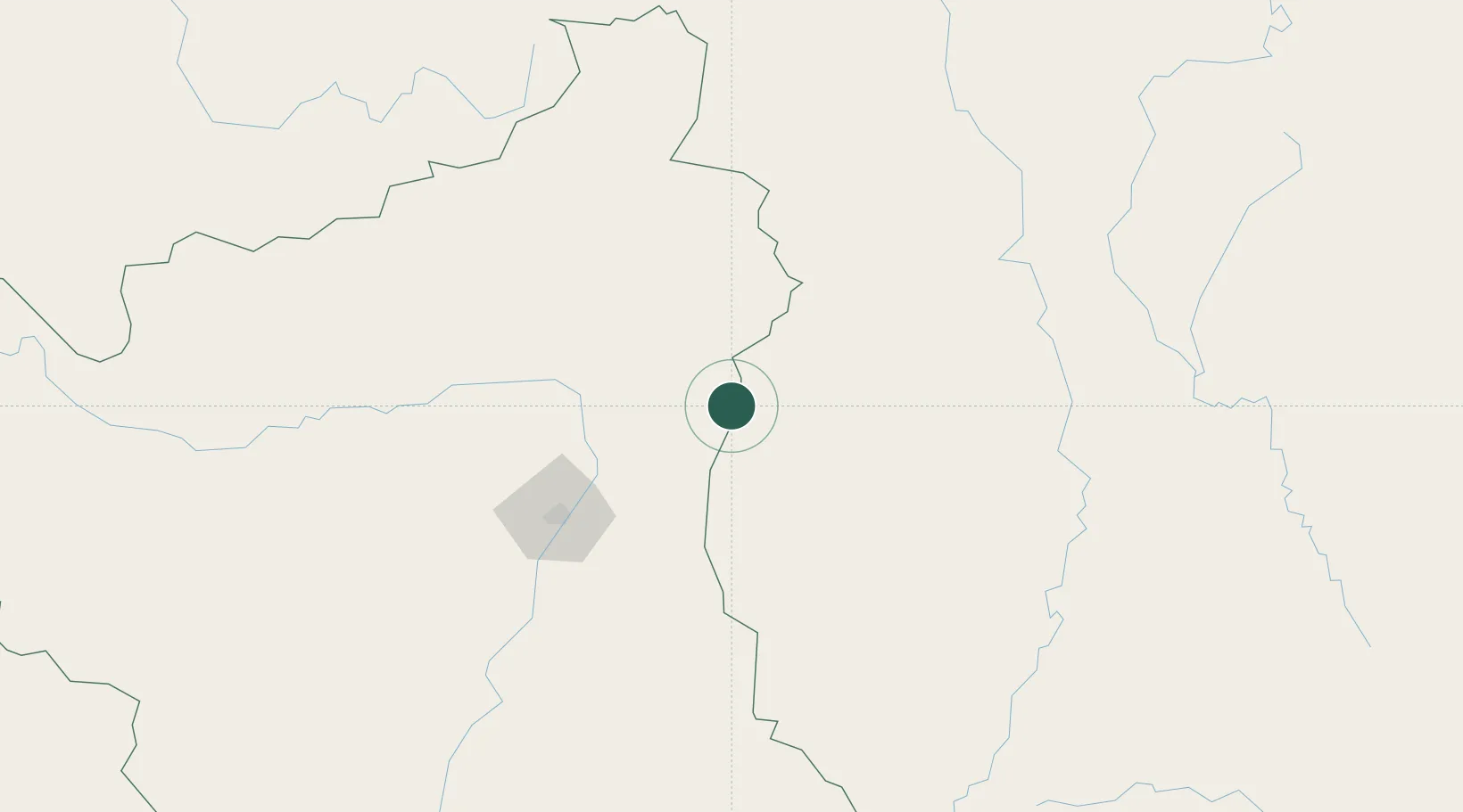
Place type
Populated place
Region
Roraima
Population
13,923
Time zone
America/Boa_Vista
Elevation
88 m
Location
Nearby Logistics Neighbours
Cities
- 1Pacaraima188 km
- 2Santa Elena de Uairén199 km
- 3Caracaraí223 km
- 4Linden343 km
- 5Mackenzie343 km
Ports
- 1Linden342 km
- 2New Amsterdam415 km
- 3Nieuw Nickerie430 km
- 4Georgetown431 km
- 5Paranam585 km
Airports
Trade Zones
- 1Lethem Industrial Estate8 km
- 2ZPE de Boa Vista (RR)111 km
- 3Free Port of Santa Elena de Uairén196 km
- 4Eccles Industrial Estate425 km
- 5Ruimveldt Industrial Estate427 km
DatabookThe Record of Consolidated Knowledge
Brazil beyond logistics?