Large airport · Brazil
Atlas Brasil Cantanhede International AirportSBBV
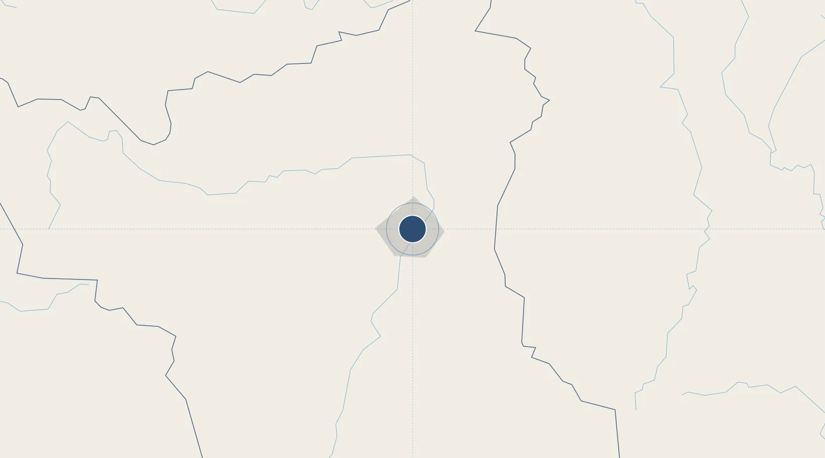
2.8462°, -60.6906°
8,858 ft
Longest runway
1
Runways
276 ft
Elevation
Runway & Layout

Radio Frequencies
TWR
118.1 MHz
GND
121.7 MHz
APP
120.1 MHz
OPS
122.5 MHz
Navaids
BVI VOR-DME Boa Vista 113.10 MHz
BVI NDB Boa Vista 405 kHz
Runways · 1
| Runway | Dimensions | Surface | True heading | Lit |
|---|---|---|---|---|
| 8/26 | 8,858 × 148ft | Asphalt | — | — |
Airport Specifications
IATA code
BVB
ICAO code
SBBV
Airport class
Large airport
Scheduled service
Yes
Runway surface
Asphalt
Served city
Boa Vista
Location
Nearby Logistics Neighbours
Airports
- 1Lethem Airport116 km
- 2Santa Elena de Uairén Airport197 km
- 3Kaieteur Airport292 km
- 4El Dorado Airport443 km
- 5Canaima Airport446 km
Cities
- 1Bonfim107 km
- 2Caracaraí126 km
- 3Pacaraima187 km
- 4Santa Elena de Uairén203 km
- 5Linden441 km
Ports
- 1Linden440 km
- 2New Amsterdam517 km
- 3Georgetown524 km
- 4Nieuw Nickerie535 km
- 5Puerto Ordaz652 km
Trade Zones
- 1ZPE de Boa Vista (RR)4 km
- 2Lethem Industrial Estate116 km
- 3Free Port of Santa Elena de Uairén201 km
- 4Eccles Industrial Estate518 km
- 5Ruimveldt Industrial Estate520 km
DatabookThe Record of Consolidated Knowledge
Brazil beyond logistics?